UN/LOCODE hub · United States
USNBR
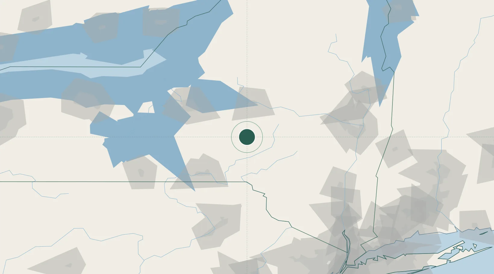
New Berlin
42.6333°, -75.3333°
974
Population
2
Transport functions
Transport Functions
Road
Multimodal
Hub Profile
Place type
Populated place
Region
New York
Population
974
Time zone
America/New_York
Elevation
339 m
Location
Nearby Logistics Neighbours
Cities
- 1Garrattsville14 km
- 2Smyrna20 km
- 3Sidney38 km
- 4Rhode Island38 km
- 5Waverly39 km
Ports
- 1Albany130 km
- 2Rensselaer130 km
- 3Catskill130 km
- 4Oswego134 km
- 5Troy134 km
Airports
Trade Zones
- 1FTZ No. 172 Oneida County88 km
- 2FTZ No. 121 Albany124 km
- 3FTZ No. 090 Onondaga134 km
- 4FTZ No. 037 Orange County143 km
- 5FTZ No. 024 Pittston151 km
DatabookThe Record of Consolidated Knowledge
United States beyond logistics?