Transport Functions
Road
Multimodal
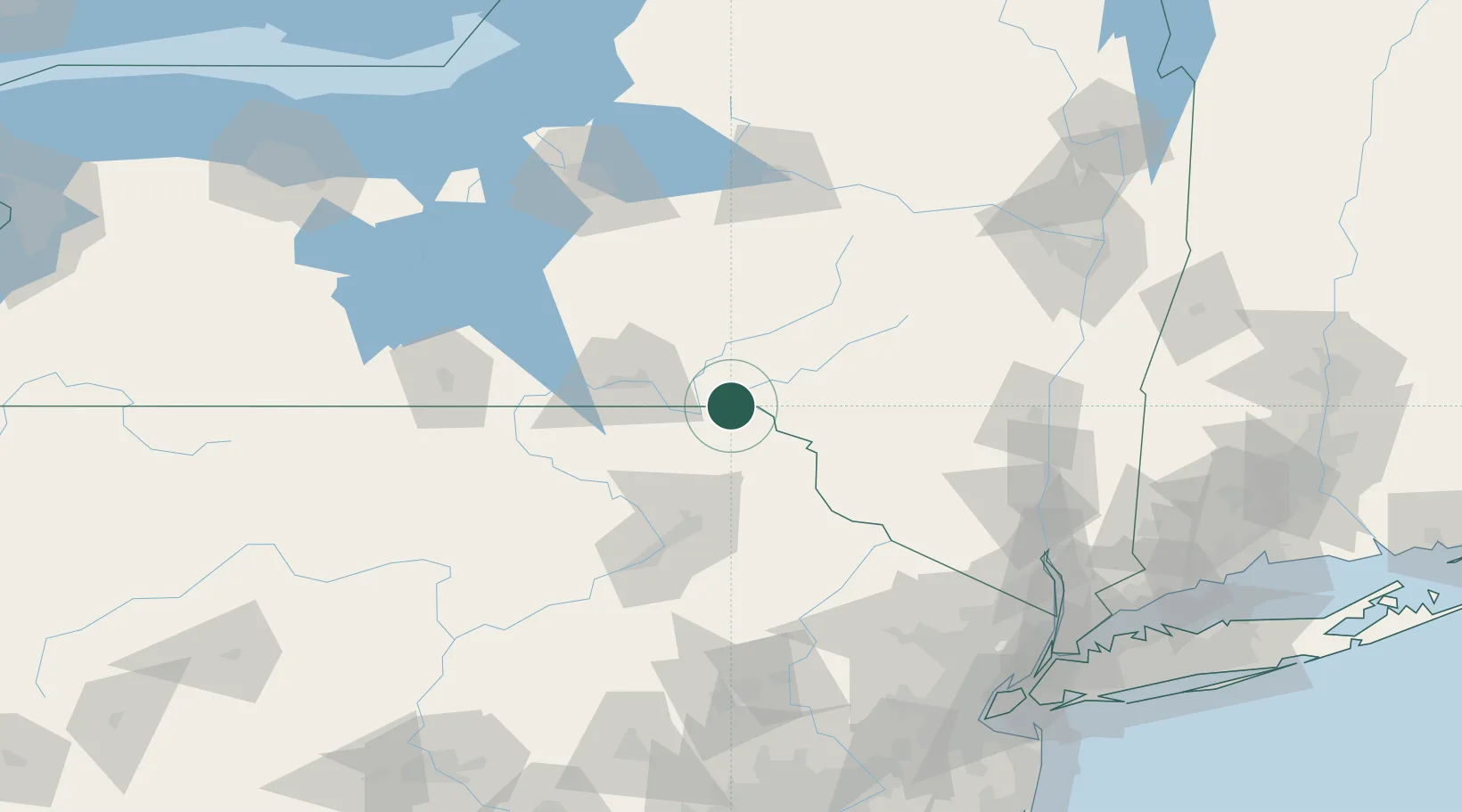
Hub Profile
Place type
Populated place
Region
New York
Time zone
America/New_York
Elevation
559 m
Location
Nearby Logistics Neighbours
Cities
- 1Susquehanna12 km
- 2Hancock16 km
- 3Hallstead24 km
- 4Kirkwood26 km
- 5Conklin28 km
Ports
- 1Kingston124 km
- 2Poughkeepsie130 km
- 3Newburgh134 km
- 4Catskill136 km
- 5Albany159 km
Airports
Trade Zones
DatabookThe Record of Consolidated Knowledge
United States beyond logistics?