Transport Functions
Port
Road
Hub Profile
Place type
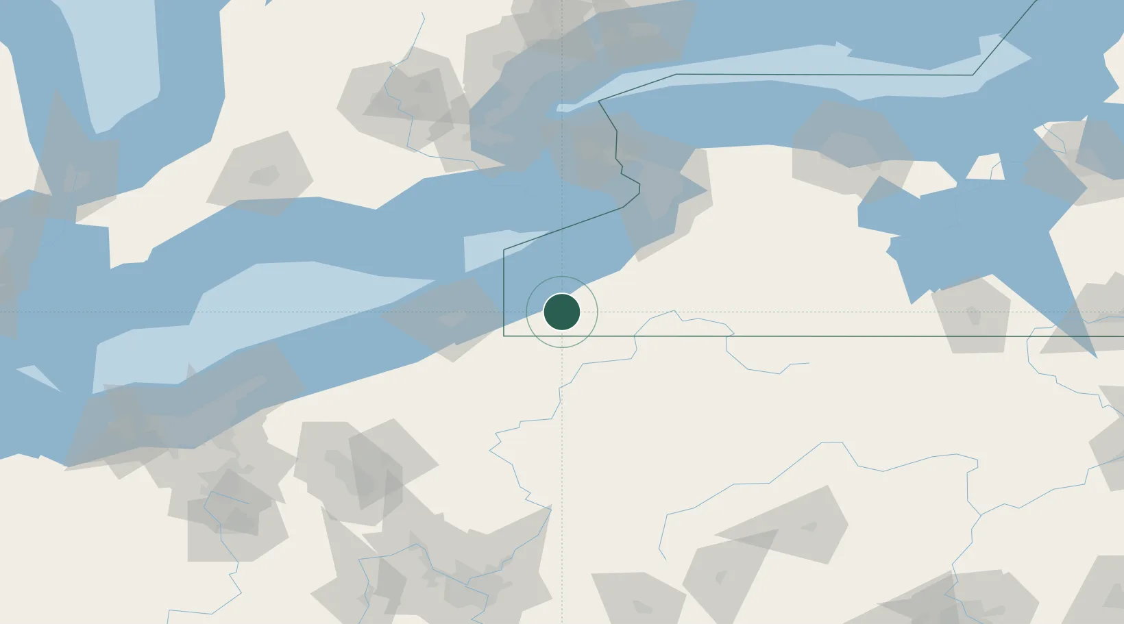
Populated place
Region
New York
Time zone
America/New_York
Elevation
400 m
Location
Nearby Logistics Neighbours
Cities
- 1Chautauqua8 km
- 2Mayville14 km
- 3Falconer18 km
- 4Frewsburg22 km
- 5Dunkirk39 km
Ports
- 1Dunkirk38 km
- 2Erie58 km
- 3Port Maitland79 km
- 4Port Colborne83 km
- 5Buffalo92 km
Airports
Trade Zones
- 1FTZ No. 247 Erie58 km
- 2FTZ No. 023 Buffalo91 km
- 3FTZ No. 254 Jefferson County96 km
- 4Niagara Foreign Trade Zone109 km
- 5FTZ No. 295 Central Pennsylvania128 km
DatabookThe Record of Consolidated Knowledge
United States beyond logistics?