UN/LOCODE hub · United States
USSE2
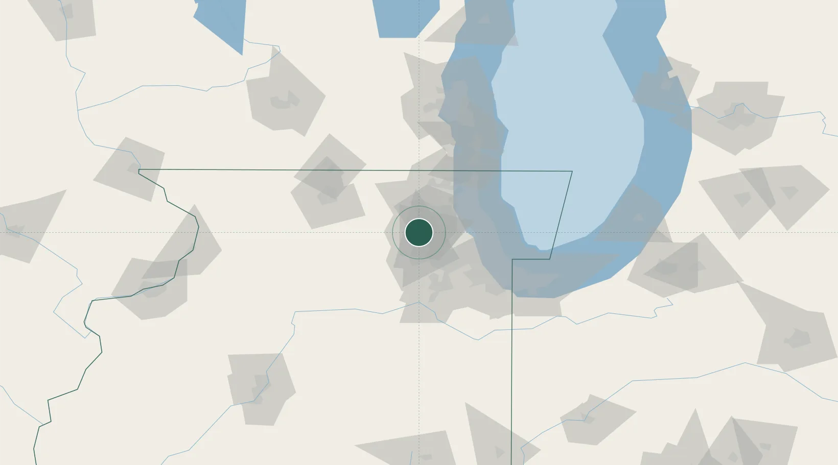
South Elgin
41.9833°, -88.3000°
22,365
Population
2
Transport functions
Transport Functions
Rail
Road
Hub Profile
Place type
Populated place
Region
Illinois
Population
22,365
Time zone
America/Chicago
Elevation
216 m
Location
Nearby Logistics Neighbours
Cities
- 1Gilberts14 km
- 2Elburn17 km
- 3Virgil20 km
- 4Algonquin20 km
- 5Glendale Heights21 km
Ports
- 1Wilmette52 km
- 2Great Lakes52 km
- 3Waukegan58 km
- 4Chicago59 km
- 5Calumet Harbor71 km
Airports
Trade Zones
- 1FTZ No. 022 Chicago39 km
- 2FTZ No. 292 Lake County51 km
- 3FTZ No. 176 Rockford81 km
- 4FTZ No. 152 Burns Harbor103 km
- 5FTZ No. 041 Milwaukee121 km
DatabookThe Record of Consolidated Knowledge
United States beyond logistics?