Transport Functions
Rail
Road
Multimodal
Hub Profile
Place type
Populated place
Region
South Carolina
Time zone
America/New_York
Elevation
305 m
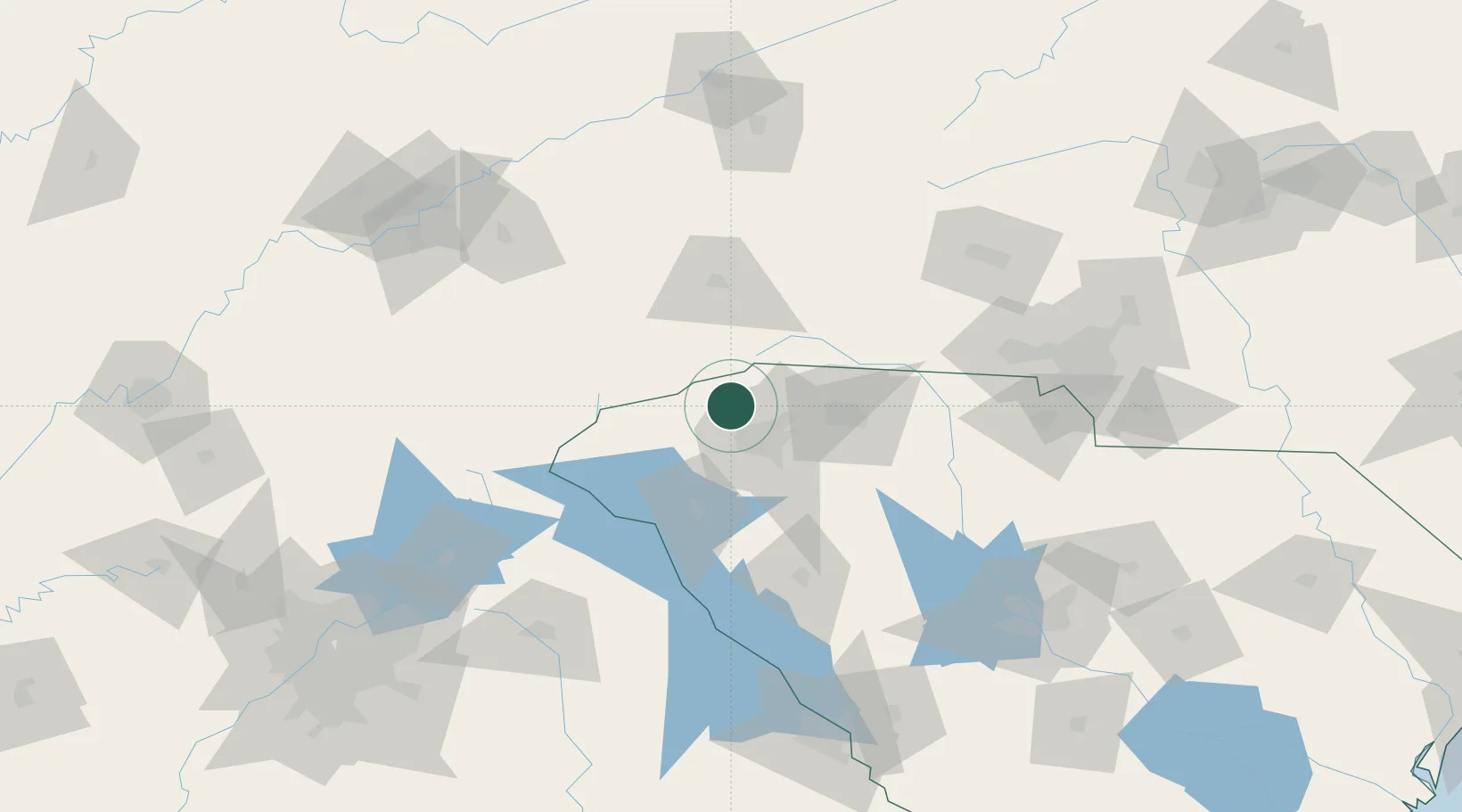
Location
Nearby Logistics Neighbours
Cities
- 1Slater2 km
- 2Zirconia26 km
- 3Penrose30 km
- 4Greenville31 km
- 5Tryon32 km
Ports
- 1Beaufort334 km
- 2Port Royal339 km
- 3Charleston344 km
- 4Georgetown348 km
- 5Savannah352 km
Airports
Trade Zones
- 1FTZ No. 038 Spartanburg County27 km
- 2FTZ No. 057 Mecklenburg County132 km
- 3FTZ No. 204 Tri-Cities163 km
- 4FTZ No. 127 West Columbia170 km
- 5FTZ No. 148 Knoxville190 km
DatabookThe Record of Consolidated Knowledge
United States beyond logistics?