UN/LOCODE hub · United States
USRSW
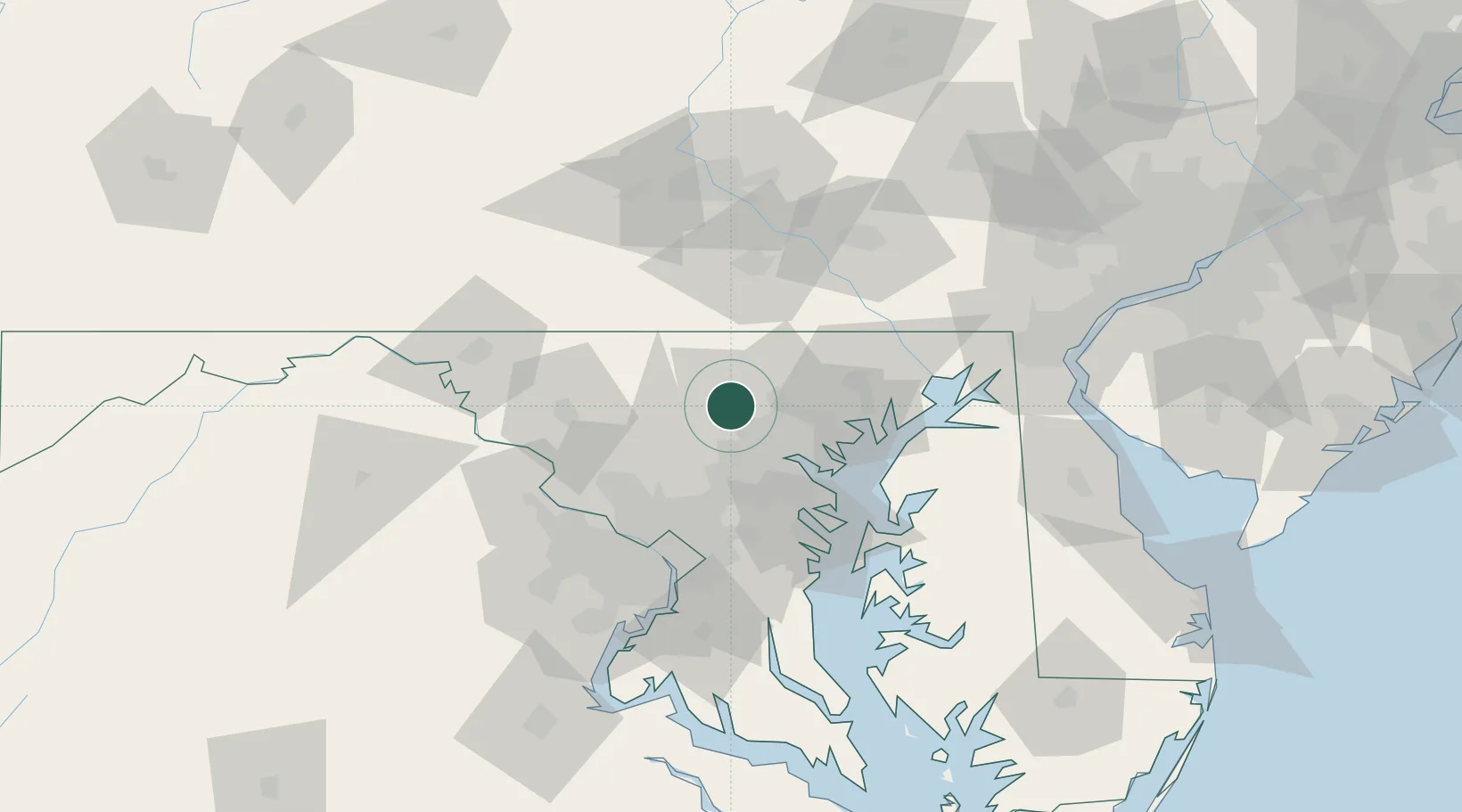
Reisterstown
39.4500°, -76.8167°
25,968
Population
3
Transport functions
Transport Functions
Rail
Road
Multimodal
Hub Profile
Place type
Populated place
Region
Maryland
Population
25,968
Time zone
America/New_York
Elevation
221 m
Location
Nearby Logistics Neighbours
Cities
- 1Glyndon2 km
- 2Sykesville16 km
- 3Arlington/Baltimore17 km
- 4West Friendship20 km
- 5Woodbine23 km
Ports
- 1Baltimore29 km
- 2Annapolis59 km
- 3Havre De Grace64 km
- 4Washington D.C.68 km
- 5Alexandria75 km
Airports
Trade Zones
DatabookThe Record of Consolidated Knowledge
United States beyond logistics?