UN/LOCODE hub · United States
USAAP

Arlington/Baltimore

39.3333°, -76.6833°
2
Transport functions

Transport Functions

Rail
Road
UN/LOCODE

Hub Profile

Region
MD
GeoNames

Location

Location of USAAP
Natural Earth 10m (public domain) · MD · USAAP · 39.33, -76.68GoogleOSMYandex

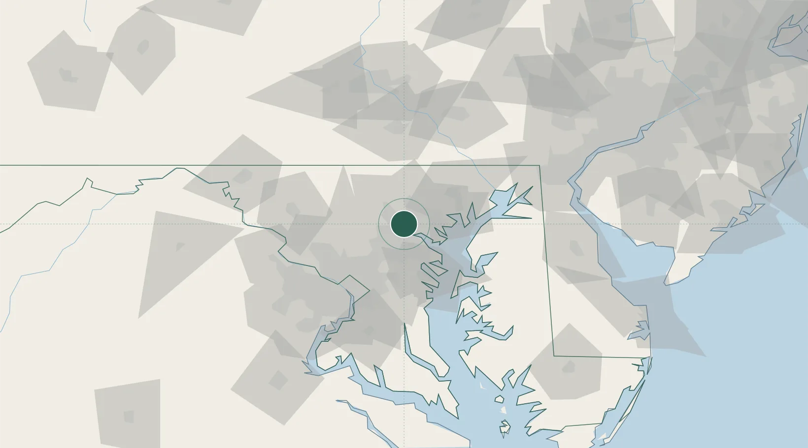
Nearby Logistics Neighbours

Cities
  1. 1Arbutus9 km
  2. 2Lansdowne-Baltimore12 km
  3. 3Brooklyn13 km
  4. 4Baltimore14 km
  5. 5Curtis Bay, Baltimore16 km
Nearest neighbours — logibook spatial index (haversine) over the source coordinates
Ports
  1. 1Baltimore11 km
  2. 2Annapolis43 km
  3. 3Havre De Grace56 km
  4. 4Washington D.C.60 km
  5. 5Alexandria67 km
Nearest neighbours — logibook spatial index (haversine) over the source coordinates
Airports
  1. 1Baltimore/Washington International Thurgood Marshall Airport18 km
  2. 2Martin State Airport23 km
  3. 3Fort Meade Executive Airport28 km
  4. 4Phillips Army Air Field47 km
  5. 5Joint Base Andrews60 km
Nearest neighbours — logibook spatial index (haversine) over the source coordinates
Trade Zones
  1. 1FTZ No. 074 Baltimore10 km
  2. 2FTZ No. 073 BWI Airport17 km
  3. 3FTZ No. 063 PrInce Georges County69 km
  4. 4FTZ No. 137 Washington Dulles International Airport79 km
  5. 5FTZ No. 099 Wilmington108 km
Nearest neighbours — logibook spatial index (haversine) over the source coordinates
DatabookThe Record of Consolidated Knowledge
United States beyond logistics?
Browse databook

All Sources

LocationsUN/LOCODE
UN/LOCODE — free
Portsthe NGA World Port Index
Public domain (US gov)
AirportsOurAirports
Public domain
Trade Zonesthe World Bank SEZ database
CC BY 4.0
Trade ZonesOpen Zone Map
CC BY
← United States locations