UN/LOCODE hub · United States
USQTE

Monette

39.8833°, -90.3500°
2
Transport functions

Transport Functions

Road
Multimodal
UN/LOCODE

Hub Profile

Place type
Populated place
GeoNames
Region
Iowa
GeoNames
Time zone
America/Chicago
GeoNames
Elevation
374 m
GeoNames

Location

Location of USQTE
Natural Earth 10m (public domain) · Iowa · USQTE · 39.88, -90.35GoogleOSMYandex

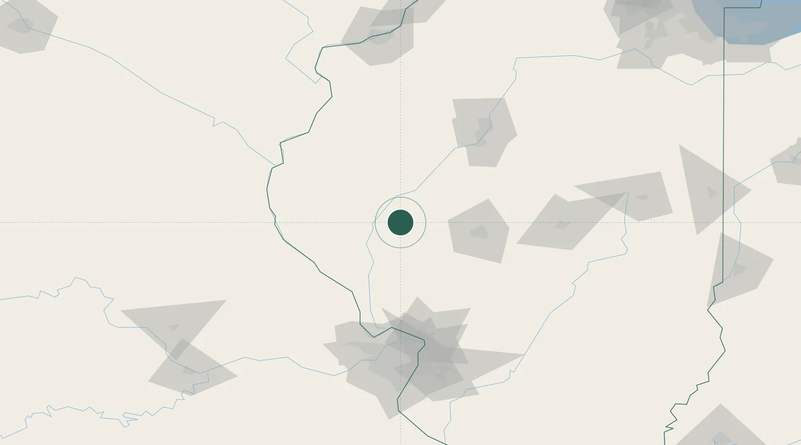
Nearby Logistics Neighbours

Cities
  1. 1Meredosia19 km
  2. 2Bluffs22 km
  3. 3Winchester31 km
  4. 4Rushville31 km
  5. 5Mount Sterling37 km
Nearest neighbours — logibook spatial index (haversine) over the source coordinates
Ports
  1. 1Calumet Harbor315 km
  2. 2Indiana Harbor316 km
  3. 3Gary319 km
  4. 4Chicago321 km
  5. 5Wilmette332 km
Nearest neighbours — logibook spatial index (haversine) over the source coordinates
Airports
  1. 1Abraham Lincoln Capital Airport58 km
  2. 2Quincy Regional Airport Baldwin Field72 km
  3. 3General Wayne A. Downing Peoria International Airport103 km
  4. 4St Louis Regional Airport114 km
  5. 5Southeast Iowa Regional Airport120 km
Nearest neighbours — logibook spatial index (haversine) over the source coordinates
Trade Zones
  1. 1FTZ No. 245 Decatur110 km
  2. 2FTZ No. 114 Peoria111 km
  3. 3FTZ No. 055 Burlington121 km
  4. 4FTZ No. 031 Granite City128 km
  5. 5FTZ No. 102 St. Louis County141 km
Nearest neighbours — logibook spatial index (haversine) over the source coordinates
DatabookThe Record of Consolidated Knowledge
United States beyond logistics?
Browse databook

All Sources

LocationsUN/LOCODE
UN/LOCODE — free
Portsthe NGA World Port Index
Public domain (US gov)
AirportsOurAirports
Public domain
Trade Zonesthe World Bank SEZ database
CC BY 4.0
Trade ZonesOpen Zone Map
CC BY
← United States locations