UN/LOCODE hub · United States
USIHS
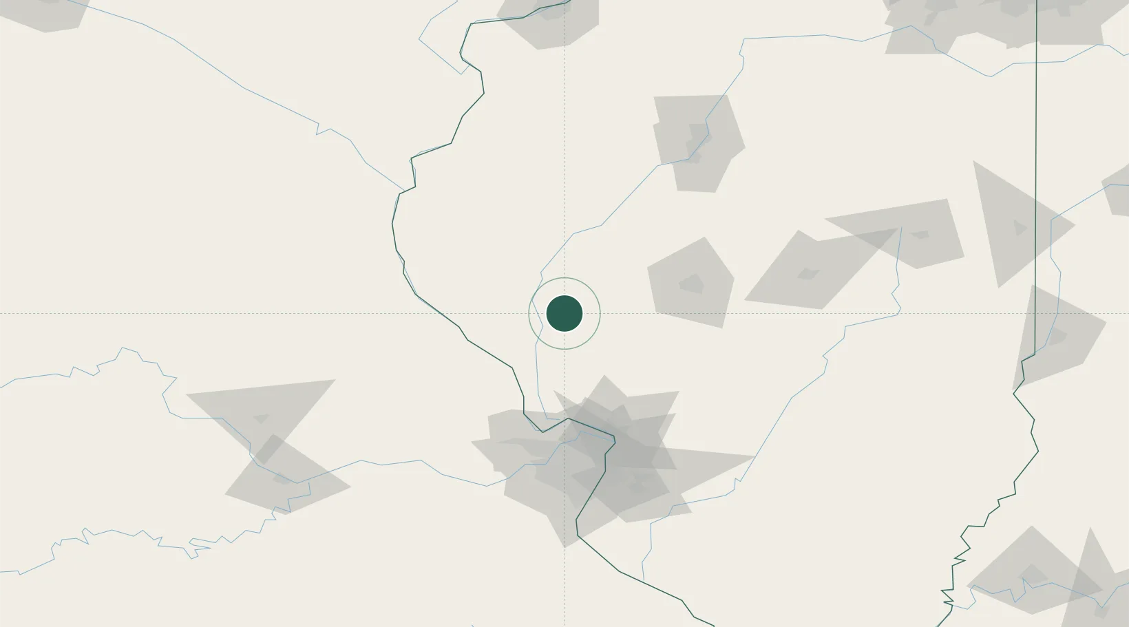
Winchester
39.6167°, -90.4500°
1,513
Population
2
Transport functions
Transport Functions
Rail
Road
Hub Profile
Place type
Provincial seat
Region
Illinois
Population
1,513
Time zone
America/Chicago
Elevation
165 m
Location
Nearby Logistics Neighbours
Cities
- 1Bluffs17 km
- 2Meredosia26 km
- 3Pittsfield30 km
- 4Monette31 km
- 5Rockport48 km
Ports
- 1Calumet Harbor341 km
- 2Indiana Harbor342 km
- 3Gary344 km
- 4Chicago348 km
- 5Wilmette360 km
Airports
Trade Zones
- 1FTZ No. 031 Granite City100 km
- 2FTZ No. 102 St. Louis County110 km
- 3FTZ No. 245 Decatur122 km
- 4FTZ No. 114 Peoria141 km
- 5FTZ No. 055 Burlington144 km
DatabookThe Record of Consolidated Knowledge
United States beyond logistics?