Transport Functions
Rail
Road
Hub Profile
Place type
Populated place
Region
Illinois
Population
677
Time zone
America/Chicago
Elevation
143 m
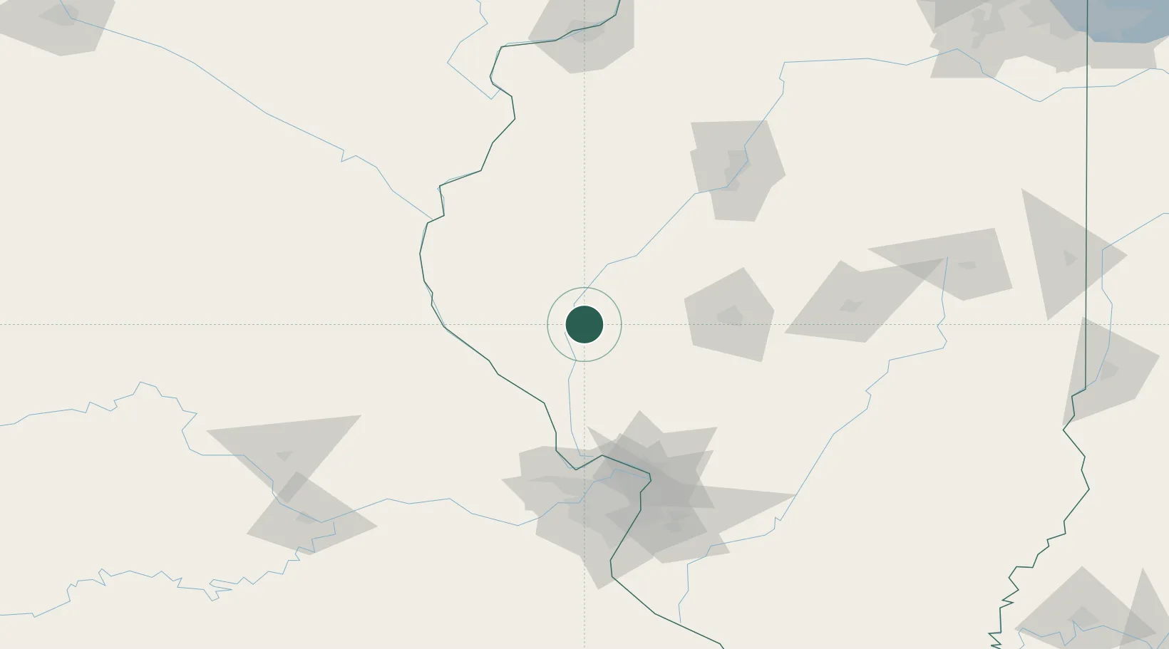
Location
Nearby Logistics Neighbours
Cities
- 1Meredosia10 km
- 2Winchester17 km
- 3Monette22 km
- 4Pittsfield28 km
- 5Mount Sterling33 km
Ports
- 1Calumet Harbor337 km
- 2Indiana Harbor337 km
- 3Gary340 km
- 4Chicago342 km
- 5Wilmette353 km
Airports
Trade Zones
- 1FTZ No. 031 Granite City116 km
- 2FTZ No. 102 St. Louis County124 km
- 3FTZ No. 245 Decatur127 km
- 4FTZ No. 055 Burlington127 km
- 5FTZ No. 114 Peoria132 km
DatabookThe Record of Consolidated Knowledge
United States beyond logistics?