Transport Functions
Rail
Road
Multimodal
Hub Profile
Place type
Populated place
Region
Tennessee
Population
1,597
Time zone
America/Chicago
Elevation
95 m
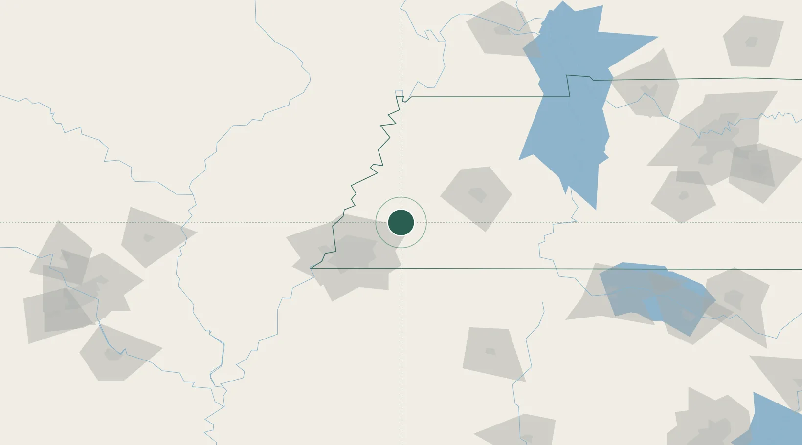
Location
Nearby Logistics Neighbours
Cities
- 1Gallaway12 km
- 2Oakland19 km
- 3Burlison29 km
- 4Henning30 km
- 5Germantown44 km
Ports
- 1Port Of Memphis70 km
- 2Mobile540 km
- 3Madisonville559 km
- 4Biloxi561 km
- 5Gulfport563 km
Airports
Trade Zones
- 1FTZ No. 283 West Tennessee41 km
- 2FTZ No. 223 Memphis62 km
- 3FTZ No. 273 West Memphis68 km
- 4FTZ No. 262 Southaven69 km
- 5FTZ No. 077 Memphis73 km
DatabookThe Record of Consolidated Knowledge
United States beyond logistics?