Transport Functions
Rail
Road
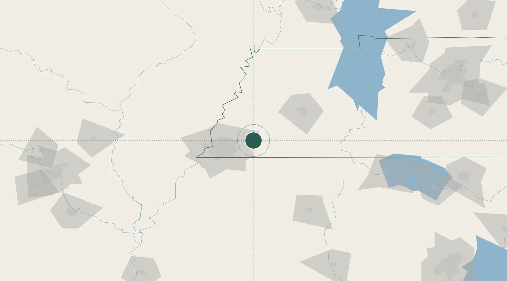
Hub Profile
Place type
Populated place
Region
Tennessee
Population
7,488
Time zone
America/Chicago
Elevation
116 m
Location
Nearby Logistics Neighbours
Cities
- 1Gallaway12 km
- 2Mason19 km
- 3Germantown31 km
- 4Grand Junction37 km
- 5Burlison43 km
Ports
- 1Port Of Memphis62 km
- 2Mobile523 km
- 3Madisonville541 km
- 4Biloxi543 km
- 5Gulfport545 km
Airports
Trade Zones
- 1FTZ No. 223 Memphis55 km
- 2FTZ No. 262 Southaven57 km
- 3FTZ No. 283 West Tennessee59 km
- 4FTZ No. 273 West Memphis62 km
- 5FTZ No. 077 Memphis68 km
DatabookThe Record of Consolidated Knowledge
United States beyond logistics?