Transport Functions
Rail
Road
Multimodal
Hub Profile
Place type
Populated place
Region
Tennessee
Population
916
Time zone
America/Chicago
Elevation
89 m
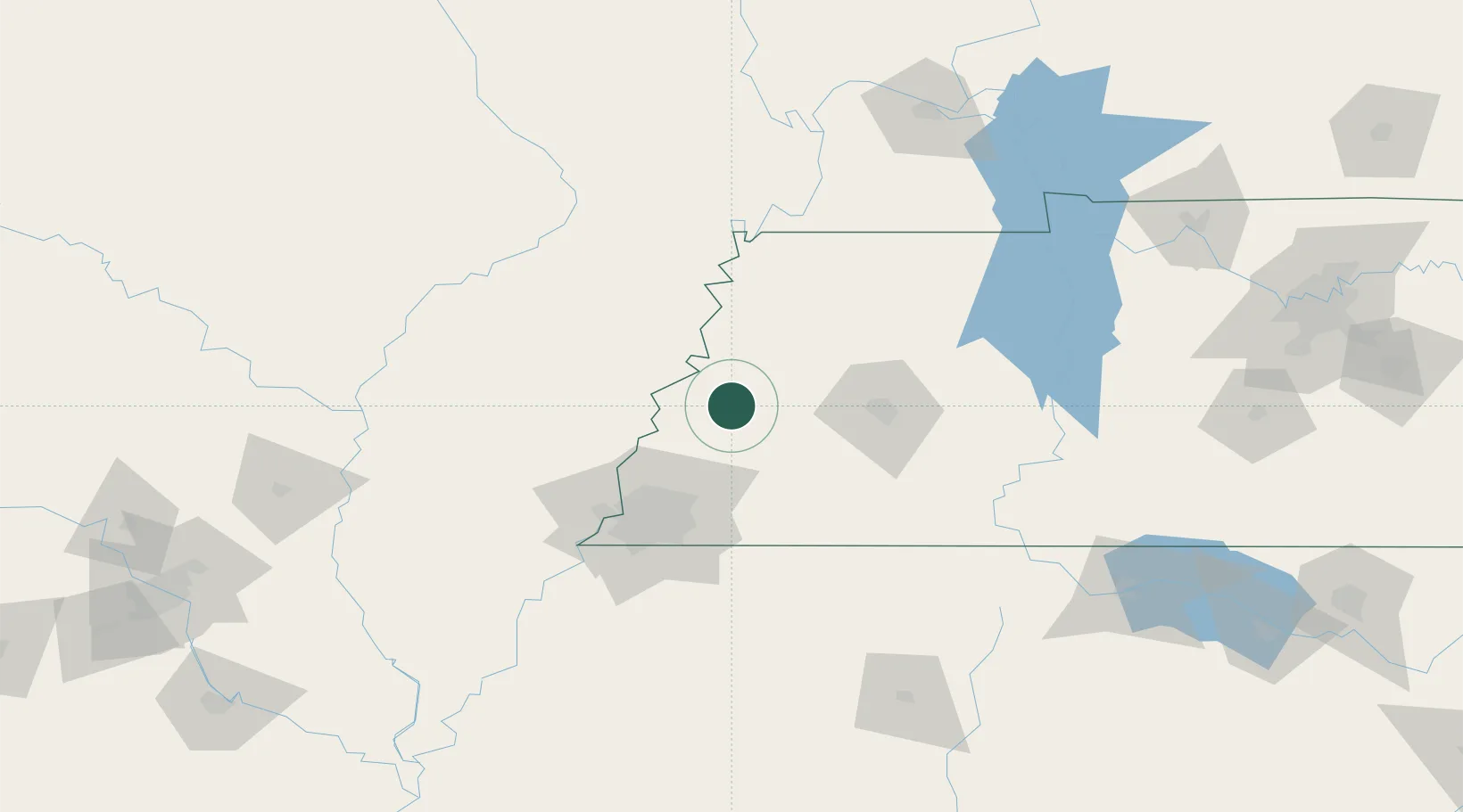
Location
Nearby Logistics Neighbours
Ports
- 1Port Of Memphis86 km
- 2Mobile570 km
- 3Madisonville588 km
- 4Biloxi591 km
- 5Gulfport593 km
Airports
Trade Zones
- 1FTZ No. 283 West Tennessee13 km
- 2FTZ No. 223 Memphis78 km
- 3FTZ No. 273 West Memphis81 km
- 4FTZ No. 077 Memphis86 km
- 5FTZ No. 262 Southaven90 km
DatabookThe Record of Consolidated Knowledge
United States beyond logistics?