UN/LOCODE hub · United States
USQMR
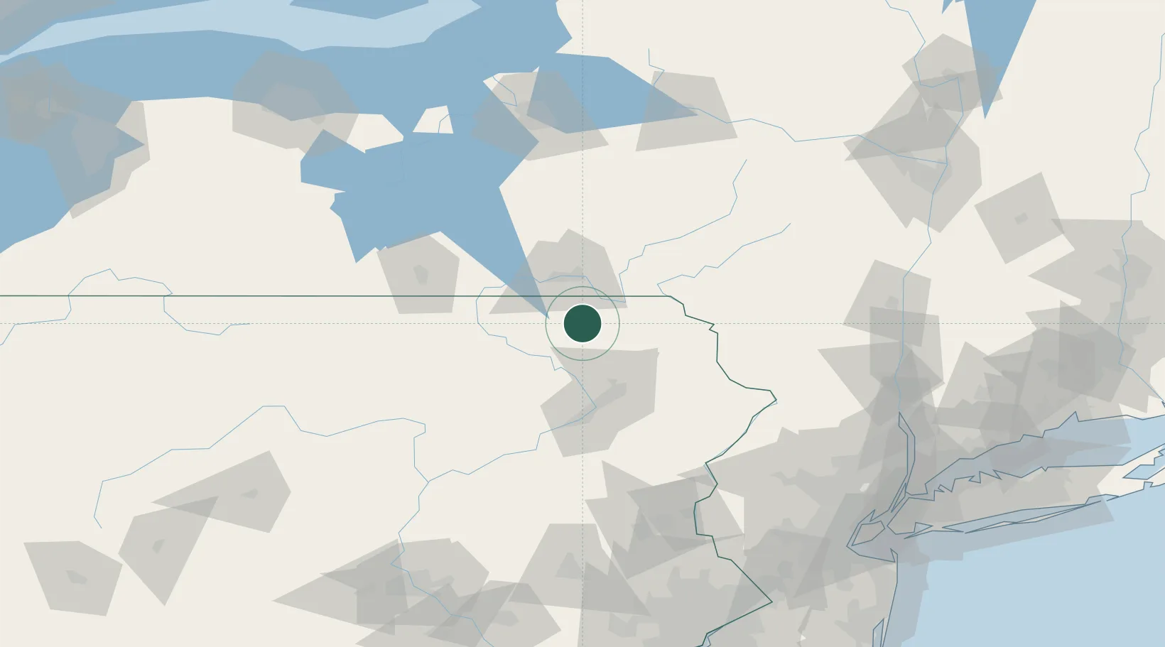
Montrose
41.8333°, -75.8667°
1,527
Population
2
Transport functions
Transport Functions
Road
Multimodal
Hub Profile
Place type
Provincial seat
Region
Pennsylvania
Population
1,527
Time zone
America/New_York
Elevation
507 m
Location
Nearby Logistics Neighbours
Ports
- 1Kingston158 km
- 2Newburgh159 km
- 3Poughkeepsie160 km
- 4Catskill172 km
- 5Sodus Bay184 km
Airports
Trade Zones
DatabookThe Record of Consolidated Knowledge
United States beyond logistics?