Transport Functions
Road
Multimodal
Hub Profile
Place type
Populated place
Region
Pennsylvania
Time zone
America/New_York
Elevation
389 m
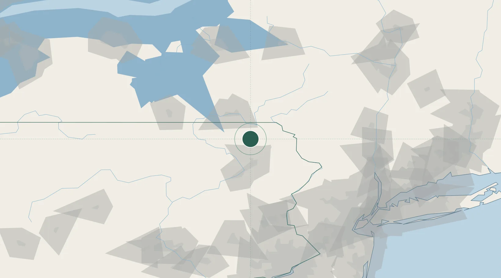
Location
Nearby Logistics Neighbours
Cities
- 1Montrose16 km
- 2Greenfield Township16 km
- 3Clifford Township17 km
- 4Susquehanna22 km
- 5Hallstead23 km
Ports
- 1Newburgh144 km
- 2Kingston145 km
- 3Poughkeepsie145 km
- 4Catskill161 km
- 5Newark176 km
Airports
Trade Zones
DatabookThe Record of Consolidated Knowledge
United States beyond logistics?