UN/LOCODE hub · United States
USHS6
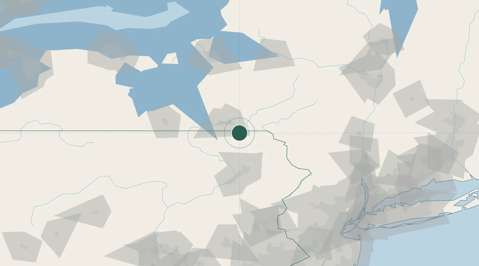
Hallstead
41.9667°, -75.7500°
1,246
Population
4
Transport functions
Transport Functions
Port
Rail
Road
Multimodal
Hub Profile
Place type
Populated place
Region
Pennsylvania
Population
1,246
Time zone
America/New_York
Elevation
265 m
Location
Nearby Logistics Neighbours
Cities
- 1Kirkwood8 km
- 2Conklin9 km
- 3Susquehanna13 km
- 4Montrose18 km
- 5Harford23 km
Ports
- 1Kingston148 km
- 2Poughkeepsie152 km
- 3Newburgh154 km
- 4Catskill159 km
- 5Sodus Bay176 km
Airports
Trade Zones
DatabookThe Record of Consolidated Knowledge
United States beyond logistics?