Transport Functions
Port
Road
Multimodal
Hub Profile
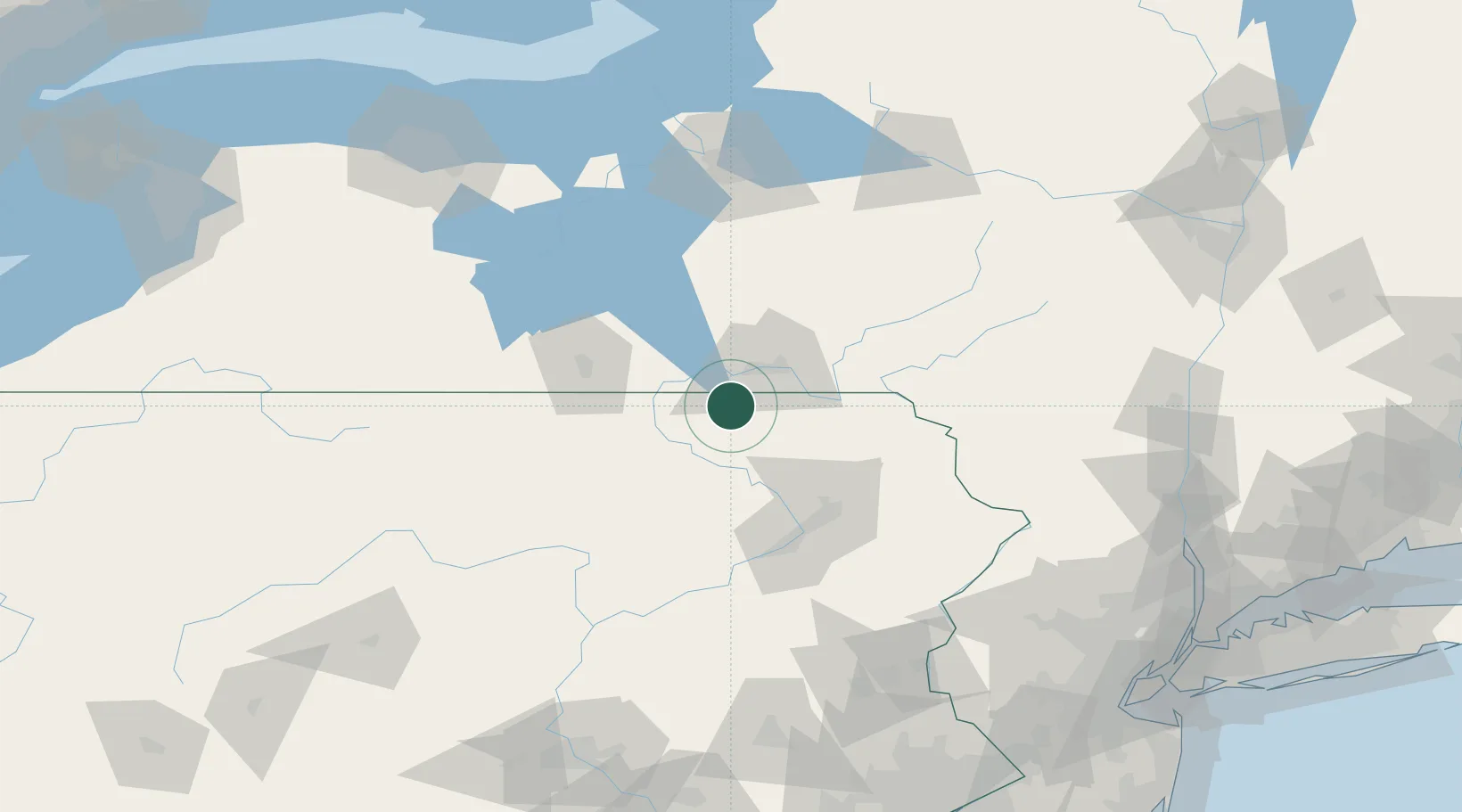
Place type
Populated place
Region
Pennsylvania
Time zone
America/New_York
Elevation
501 m
Location
Nearby Logistics Neighbours
Cities
- 1Vestal18 km
- 2Nichols, Tioga21 km
- 3Montrose25 km
- 4Catatonk28 km
- 5Conklin30 km
Ports
- 1Sodus Bay164 km
- 2Oswego173 km
- 3Rochester191 km
- 4Newark215 km
- 5Elizabethport217 km
Airports
Trade Zones
DatabookThe Record of Consolidated Knowledge
United States beyond logistics?