UN/LOCODE hub · United States
USQMF
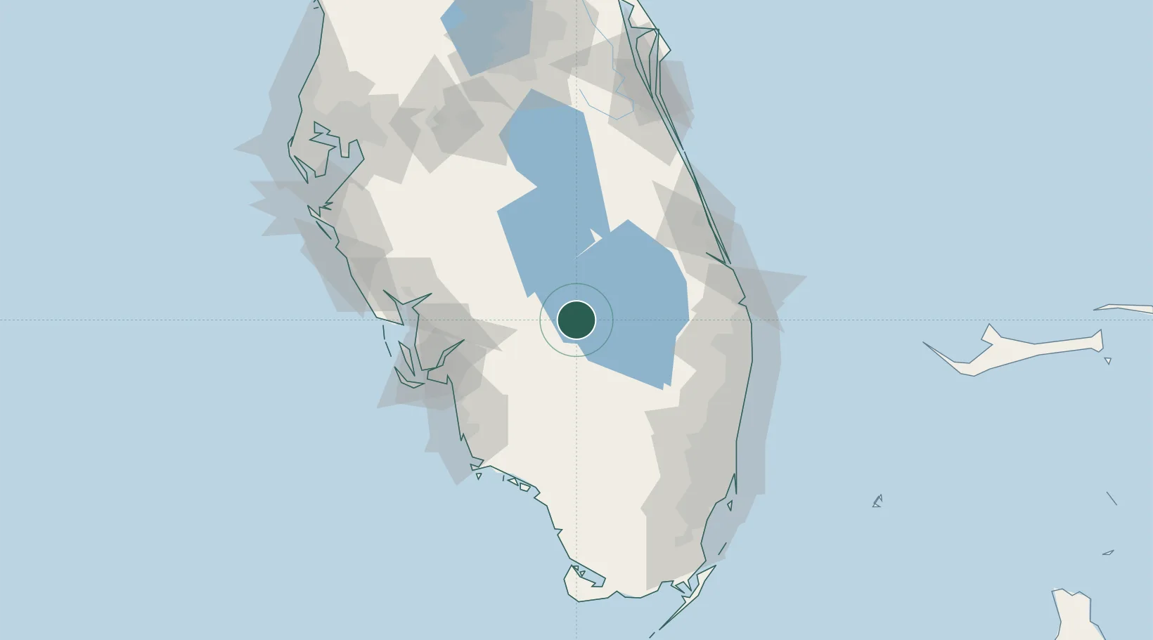
Moore Haven
26.8333°, -81.1000°
1,794
Population
2
Transport functions
Transport Functions
Rail
Road
Hub Profile
Place type
Provincial seat
Region
Florida
Population
1,794
Time zone
America/New_York
Elevation
4 m
Location
Nearby Logistics Neighbours
Cities
- 1Palmdale23 km
- 2Felda47 km
- 3Lehigh Acres57 km
- 4Pembroke Pines80 km
- 5Estero84 km
Ports
- 1Palm Beach105 km
- 2Fort Pierce105 km
- 3Boca Grande123 km
- 4Port Everglades127 km
- 5Miami148 km
Airports
- 1Southwest Florida International Airport73 km
- 2Page Field81 km
- 3Punta Gorda Airport89 km
- 4Palm Beach International Airport101 km
- 5Naples Municipal Airport101 km
Trade Zones
- 1FTZ No. 218 St. Lucie County82 km
- 2FTZ No. 215 Sebring82 km
- 3FTZ No. 213 Fort Myers83 km
- 4FTZ No. 135 Palm Beach County104 km
- 5FTZ No. 241 Fort Lauderdale116 km
DatabookThe Record of Consolidated Knowledge
United States beyond logistics?