Transport Functions
Port
Rail
Road
Multimodal
Hub Profile
Place type
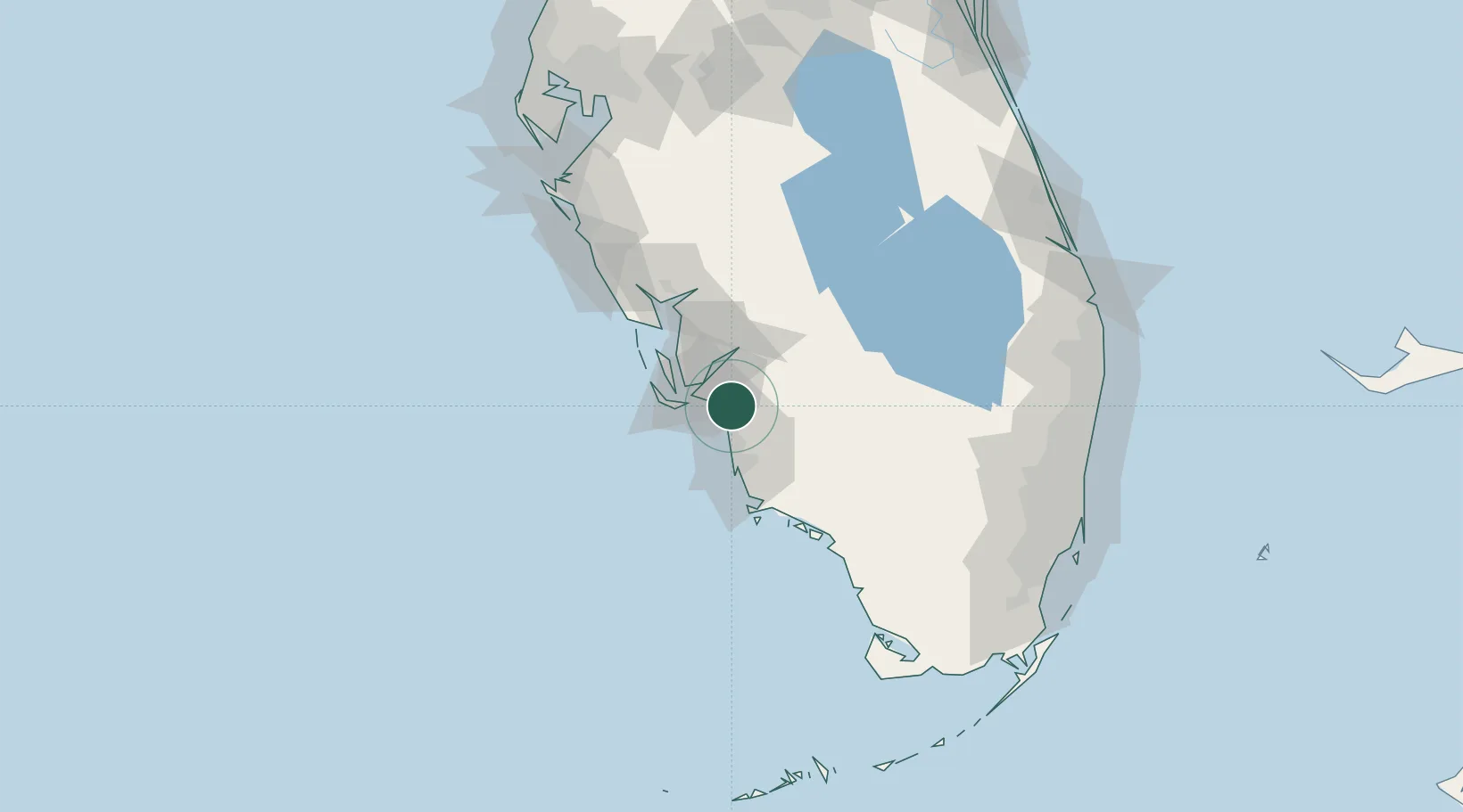
Populated place
Region
Florida
Population
30,799
Time zone
America/New_York
Elevation
4 m
Location
Nearby Logistics Neighbours
Cities
- 1Cape Coral20 km
- 2Saint James City27 km
- 3Lehigh Acres29 km
- 4Captiva38 km
- 5Felda40 km
Ports
- 1Boca Grande59 km
- 2Port Manatee153 km
- 3Sankt-Peterburg168 km
- 4Port Everglades174 km
- 5Tampa176 km
Airports
Trade Zones
- 1FTZ No. 213 Fort Myers22 km
- 2FTZ No. 215 Sebring119 km
- 3FTZ No. 169 Manatee County142 km
- 4FTZ No. 281 Miami-Dade County145 km
- 5FTZ No. 218 St. Lucie County164 km
DatabookThe Record of Consolidated Knowledge
United States beyond logistics?