UN/LOCODE hub · United States
USLEF
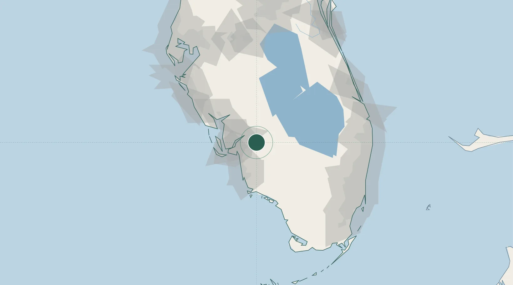
Lehigh Acres
26.6167°, -81.6167°
86,784
Population
2
Transport functions
Transport Functions
Road
Multimodal
Hub Profile
Place type
Populated place
Region
Florida
Population
86,784
Time zone
America/New_York
Elevation
6 m
Location
Nearby Logistics Neighbours
Cities
- 1Felda21 km
- 2Estero29 km
- 3Cape Coral34 km
- 4Palmdale47 km
- 5Saint James City49 km
Ports
- 1Boca Grande72 km
- 2Port Manatee147 km
- 3Palm Beach157 km
- 4Fort Pierce160 km
- 5Port Everglades160 km
Airports
Trade Zones
- 1FTZ No. 213 Fort Myers28 km
- 2FTZ No. 215 Sebring95 km
- 3FTZ No. 218 St. Lucie County136 km
- 4FTZ No. 169 Manatee County142 km
- 5FTZ No. 281 Miami-Dade County147 km
DatabookThe Record of Consolidated Knowledge
United States beyond logistics?