Medium airport · United States
Naples Municipal AirportKAPF
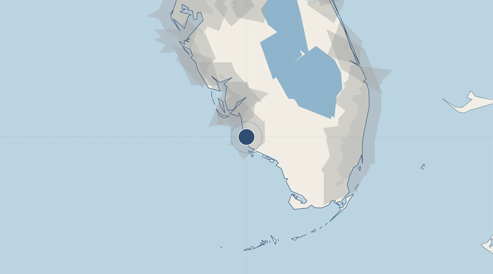
26.1526°, -81.7753°
6,600 ft
Longest runway
3
Runways
8 ft
Elevation
Runway & Layout

Radio Frequencies
ATIS
134.225 MHz
TWR
128.5 MHz
GND
121.6 MHz
CLD
118 MHz
CLNC DEL
CTAF
128.5 MHz
A/D
119.75 MHz
FORT MYERS APP/DEP
RDO
123.6 MHz
MIAMI RDO
Navaids
CYY VOR-DME Cypress 108.60 MHz
Runways · 3
| Runway | Dimensions | Surface | True heading | Lit |
|---|---|---|---|---|
| 05/23 | 6,600 × 150ft | Asphalt | 044° | ✓ |
| 14/32 | 5,001 × 100ft | Asphalt | 134° | ✓ |
| NE/SW | 1,850 × 100ft | Turf | 044° | — |
Airport Specifications
IATA code
APF
ICAO code
KAPF
Airport class
Medium airport
Scheduled service
No
Runway surface
Asphalt
Served city
Naples
Location
Nearby Logistics Neighbours
Airports
Cities
- 1Estero32 km
- 2Saint James City48 km
- 3Cape Coral49 km
- 4Lehigh Acres54 km
- 5Felda54 km
Ports
- 1Boca Grande82 km
- 2Miami164 km
- 3Port Everglades166 km
- 4Key West178 km
- 5Port Manatee182 km
Trade Zones
- 1FTZ No. 213 Fort Myers53 km
- 2FTZ No. 281 Miami-Dade County123 km
- 3FTZ No. 215 Sebring149 km
- 4FTZ No. 032 Miami152 km
- 5FTZ No. 241 Fort Lauderdale160 km
DatabookThe Record of Consolidated Knowledge
United States beyond logistics?