Transport Functions
Road
Multimodal
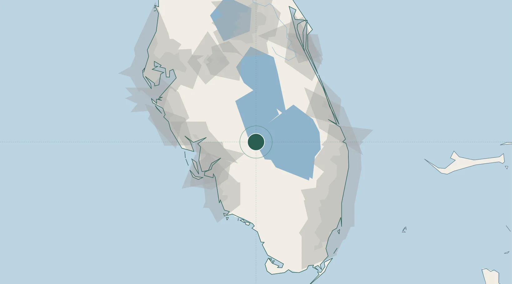
Hub Profile
Place type
Populated place
Region
Florida
Time zone
America/New_York
Elevation
13 m
Location
Nearby Logistics Neighbours
Cities
- 1Moore Haven23 km
- 2Felda46 km
- 3Lehigh Acres47 km
- 4Estero76 km
- 5Cape Coral76 km
Ports
- 1Boca Grande106 km
- 2Fort Pierce114 km
- 3Palm Beach125 km
- 4Port Manatee147 km
- 5Port Everglades150 km
Airports
Trade Zones
- 1FTZ No. 215 Sebring64 km
- 2FTZ No. 213 Fort Myers69 km
- 3FTZ No. 218 St. Lucie County90 km
- 4FTZ No. 135 Palm Beach County125 km
- 5FTZ No. 241 Fort Lauderdale139 km
DatabookThe Record of Consolidated Knowledge
United States beyond logistics?