Transport Functions
Road
Multimodal
Hub Profile
Place type
Populated place
Region
North Carolina
Population
10,024
Time zone
America/New_York
Elevation
215 m
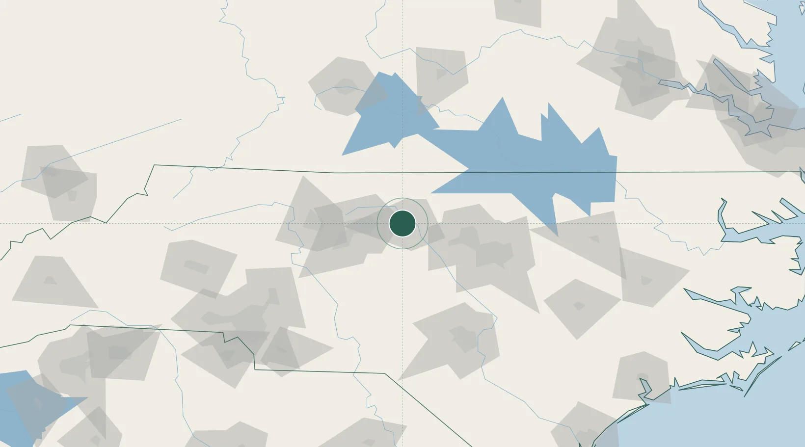
Location
Nearby Logistics Neighbours
Cities
- 1Glen Raven3 km
- 2Gibsonville5 km
- 3McLeansville14 km
- 4Climax30 km
- 5Cedar Grove31 km
Ports
- 1Washington229 km
- 2Richmond245 km
- 3New Bern248 km
- 4Plymouth249 km
- 5Wilmington251 km
Airports
Trade Zones
- 1FTZ No. 093 Raleigh Durham58 km
- 2FTZ No. 230 Piedmont Triad Area59 km
- 3FTZ No. 238 Dublin154 km
- 4FTZ No. 057 Mecklenburg County171 km
- 5FTZ No. 214 Lenoir County175 km
DatabookThe Record of Consolidated Knowledge
United States beyond logistics?