UN/LOCODE hub · United States
USQLH
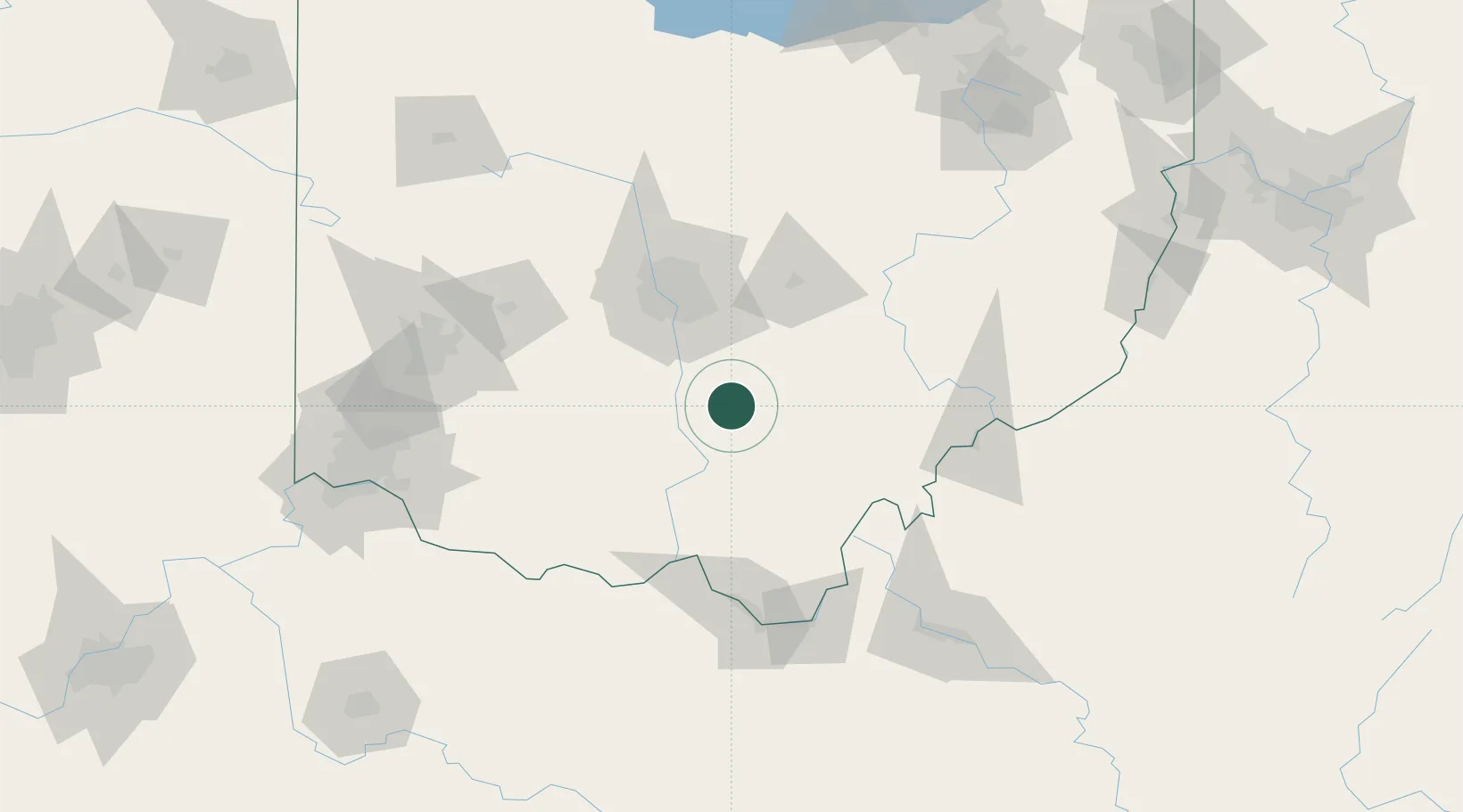
Laurelville
39.4667°, -82.7333°
517
Population
3
Transport functions
Transport Functions
Port
Road
Multimodal
Hub Profile
Place type
Populated place
Region
Ohio
Population
517
Time zone
America/New_York
Elevation
224 m
Location
Nearby Logistics Neighbours
Cities
- 1Richmond Dale31 km
- 2Carroll33 km
- 3Wellston43 km
- 4Junction City, Perry46 km
- 5Beaver51 km
Ports
- 1Huron216 km
- 2Sandusky221 km
- 3Vermilion221 km
- 4Lorain227 km
- 5Port Clinton229 km
Airports
Trade Zones
- 1FTZ No. 138 Franklin County43 km
- 2FTZ No. 054 Clinton County91 km
- 3FTZ No. 100 Dayton138 km
- 4FTZ No. 229 Charleston153 km
- 5FTZ No. 046 CIncinnati159 km
DatabookThe Record of Consolidated Knowledge
United States beyond logistics?