UN/LOCODE hub · United States
USOHW
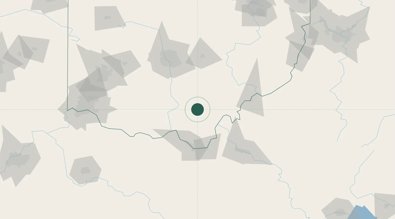
Wellston
39.1167°, -82.5167°
5,494
Population
3
Transport functions
Transport Functions
Rail
Road
Multimodal
Hub Profile
Place type
Populated place
Region
Ohio
Population
5,494
Time zone
America/New_York
Elevation
226 m
Location
Nearby Logistics Neighbours
Cities
- 1Richmond Dale28 km
- 2Beaver28 km
- 3Bidwell29 km
- 4Cheshire39 km
- 5Laurelville43 km
Ports
- 1Huron254 km
- 2Vermilion258 km
- 3Sandusky260 km
- 4Lorain263 km
- 5Port Clinton269 km
Airports
Trade Zones
- 1FTZ No. 138 Franklin County86 km
- 2FTZ No. 229 Charleston111 km
- 3FTZ No. 054 Clinton County115 km
- 4FTZ No. 100 Dayton170 km
- 5FTZ No. 046 CIncinnati172 km
DatabookThe Record of Consolidated Knowledge
United States beyond logistics?