Transport Functions
Rail
Road
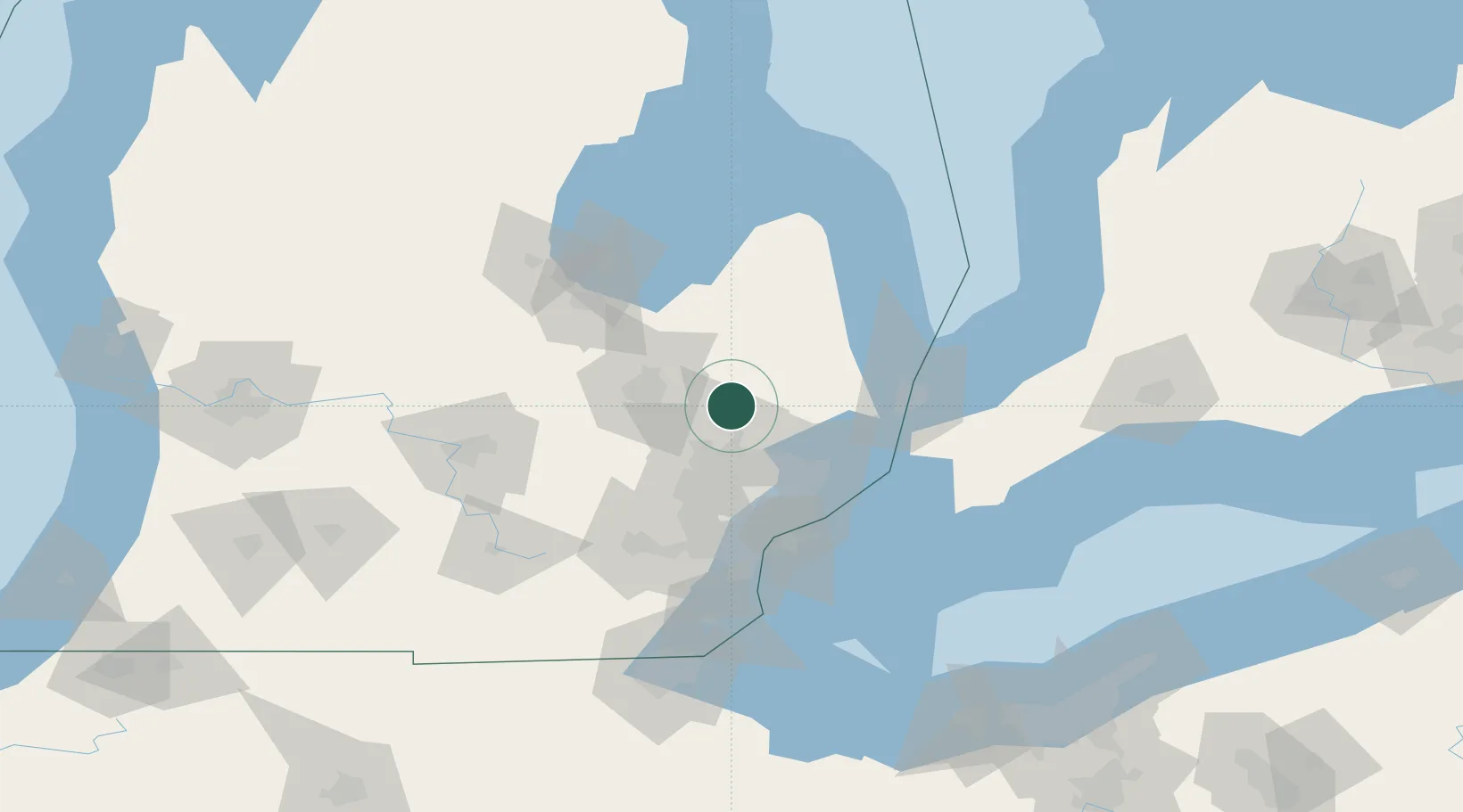
Hub Profile
Place type
Populated place
Region
Michigan
Population
566
Time zone
America/Detroit
Elevation
319 m
Location
Nearby Logistics Neighbours
Cities
- 1Oakwood, Oakland9 km
- 2Oxford13 km
- 3Lapeer13 km
- 4Dryden14 km
- 5Lake Orion17 km
Ports
- 1St Clair67 km
- 2Courtright68 km
- 3Sombra70 km
- 4Port Huron70 km
- 5Detroit70 km
Airports
Trade Zones
DatabookThe Record of Consolidated Knowledge
United States beyond logistics?