UN/LOCODE hub · United States
USOWU

Oakwood, Oakland

42.8667°, -83.3333°
2
Transport functions

Transport Functions

Road
Multimodal
UN/LOCODE

Hub Profile

Region
MI
GeoNames

Location

Location of USOWU
Natural Earth 10m (public domain) · MI · USOWU · 42.87, -83.33GoogleOSMYandex

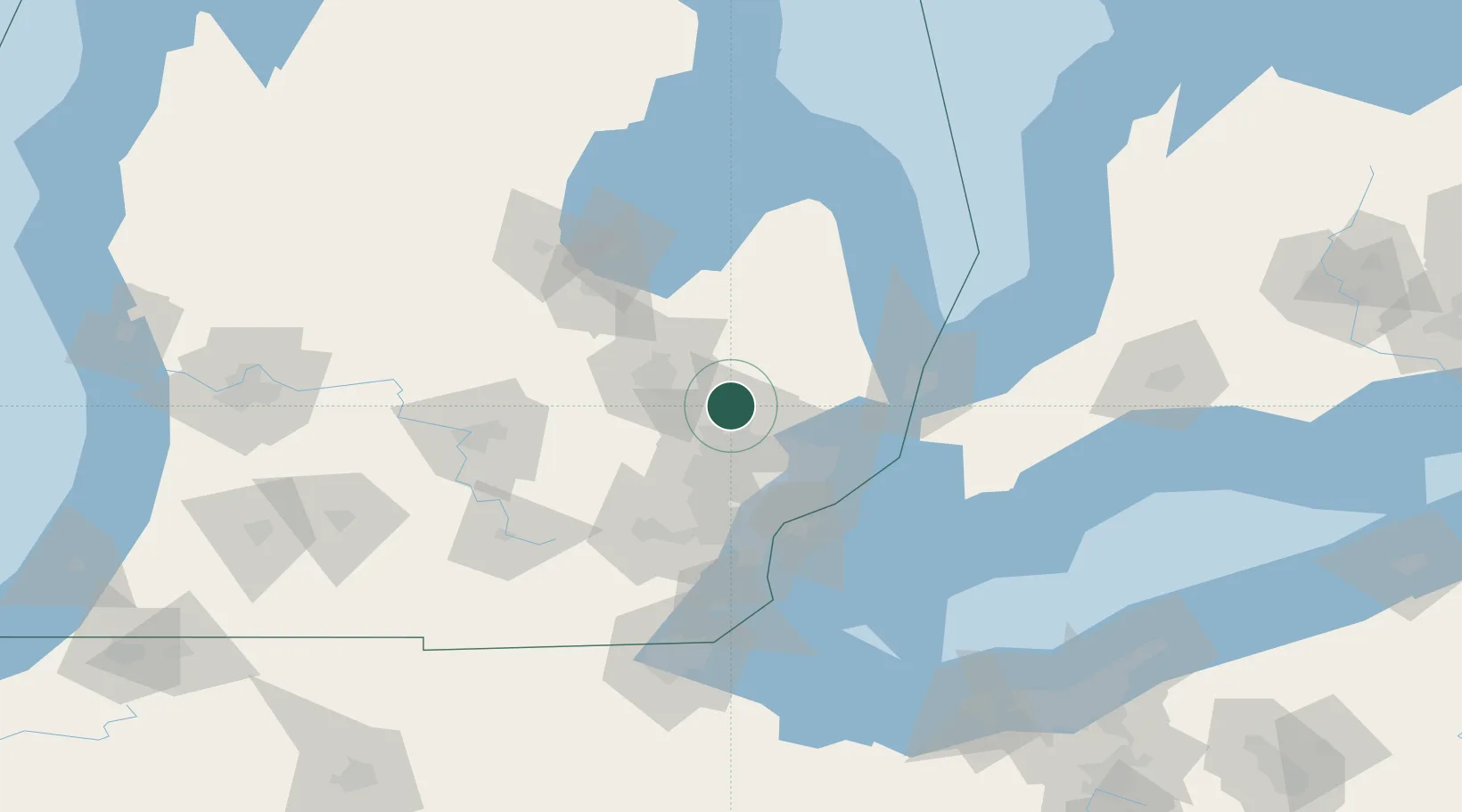
Nearby Logistics Neighbours

Cities
  1. 1Oxford8 km
  2. 2Metamora9 km
  3. 3Lake Orion12 km
  4. 4Lake Orion Heights12 km
  5. 5Waterford19 km
Nearest neighbours — logibook spatial index (haversine) over the source coordinates
Ports
  1. 1Detroit64 km
  2. 2Windsor66 km
  3. 3St Clair70 km
  4. 4Courtright71 km
  5. 5Sombra71 km
Nearest neighbours — logibook spatial index (haversine) over the source coordinates
Airports
  1. 1Oakland County International Airport24 km
  2. 2Bishop International Airport35 km
  3. 3Selfridge Air National Guard Base Airport49 km
  4. 4Coleman A. Young Municipal Airport57 km
  5. 5Willow Run Airport72 km
Nearest neighbours — logibook spatial index (haversine) over the source coordinates
Trade Zones
  1. 1FTZ No. 140 Flint39 km
  2. 2FTZ No. 284 Genesee County54 km
  3. 3FTZ No. 070 Detroit58 km
  4. 4FTZ No. 210 St. Clair County66 km
  5. 5Windsor - Essex Foreign Trade Zone66 km
Nearest neighbours — logibook spatial index (haversine) over the source coordinates
DatabookThe Record of Consolidated Knowledge
United States beyond logistics?
Browse databook

All Sources

LocationsUN/LOCODE
UN/LOCODE — free
Portsthe NGA World Port Index
Public domain (US gov)
AirportsOurAirports
Public domain
Trade Zonesthe World Bank SEZ database
CC BY 4.0
Trade ZonesOpen Zone Map
CC BY
← United States locations