Medium airport · United States

Coleman A. Young Municipal AirportKDET
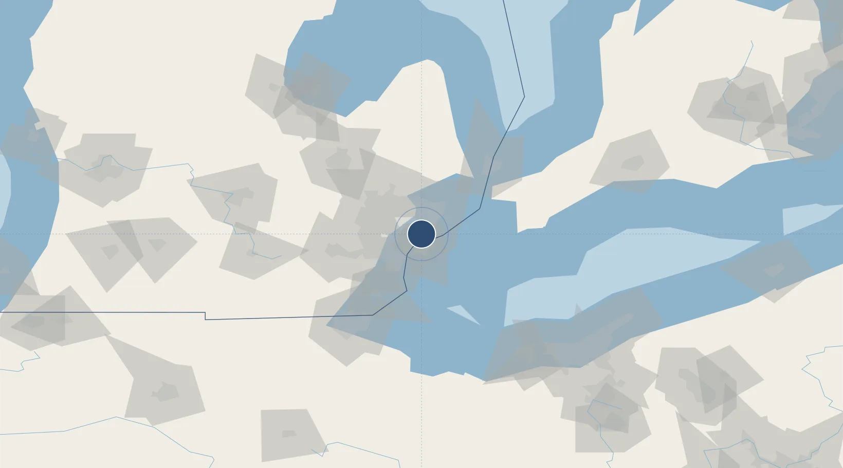
42.4092°, -83.0099°
5,092 ft
Longest runway
1
Runways
626 ft
Elevation

Runway & Layout

Coleman A. Young Municipal Airport runway & taxiway layout
Runway & taxiway layout — OpenStreetMap (ODbL) / OurAirports

Radio Frequencies

ATIS
124.875 MHz
TWR
121.3 MHz
GND
121.85 MHz
A/D
126.85 MHz
APP/DEP
RDO
122.2 MHz
LANSING RDO
UNIC
122.95 MHz
UNICOM
OurAirports

Navaids

DE NDB Madds 338 kHz
VQ NDB Cargl 230 kHz
YQG VOR-DME Windsor 113.80 MHz
OurAirports

Runways · 1

RunwayDimensions SurfaceTrue headingLit
15/33 5,092 × 100ft Asphalt 143°
OurAirports

Airport Specifications

IATA code
DET
OurAirports
ICAO code
KDET
OurAirports
Airport class
Medium airport
OurAirports
Scheduled service
No
OurAirports
Runway surface
Asphalt
OurAirports
Served city
Detroit
OurAirports

Location

Location of KDET
Natural Earth 10m (public domain) · Michigan · KDET · 42.41, -83.01GoogleOSMYandex

Nearby Logistics Neighbours

Airports
  1. 1Windsor International Airport16 km
  2. 2Selfridge Air National Guard Base Airport27 km
  3. 3Detroit Metropolitan Wayne County Airport36 km
  4. 4Oakland County International Airport44 km
  5. 5Willow Run Airport47 km
Nearest neighbours — logibook spatial index (haversine) over the source coordinates
Cities
  1. 1Center Line8 km
  2. 2Grosse Point Woods9 km
  3. 3Hazel Park10 km
  4. 4Saint Clair Shores13 km
  5. 5Huntington Woods14 km
Nearest neighbours — logibook spatial index (haversine) over the source coordinates
Ports
  1. 1Detroit9 km
  2. 2Windsor11 km
  3. 3Wyandotte26 km
  4. 4Trenton33 km
  5. 5Amherstburg35 km
Nearest neighbours — logibook spatial index (haversine) over the source coordinates
Trade Zones
  1. 1Windsor - Essex Foreign Trade Zone10 km
  2. 2FTZ No. 070 Detroit20 km
  3. 3FTZ No. 210 St. Clair County61 km
  4. 4FTZ No. 140 Flint91 km
  5. 5FTZ No. 008 Toledo94 km
Nearest neighbours — logibook spatial index (haversine) over the source coordinates
DatabookThe Record of Consolidated Knowledge
United States beyond logistics?
Browse databook

All Sources

AirportsOurAirports
Public domain
Portsthe NGA World Port Index
Public domain (US gov)
LocationsUN/LOCODE
UN/LOCODE — free
Trade Zonesthe World Bank SEZ database
CC BY 4.0
Trade ZonesOpen Zone Map
CC BY
InfrastructureOpenStreetMap
ODbL 1.0
← United States airports