UN/LOCODE hub · United States
USCNM
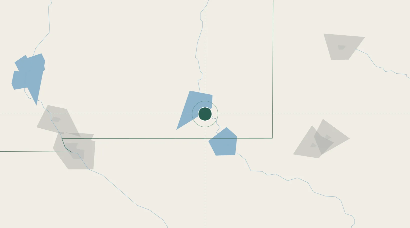
Carlsbad
32.4167°, -104.2167°
28,957
Population
5
Transport functions
Transport Functions
Port
Rail
Road
Airport
Multimodal
Hub Profile
Place type
Provincial seat
Region
New Mexico
Population
28,957
Time zone
America/Denver
Elevation
945 m
Location
Nearby Logistics Neighbours
Cities
- 1Dexter86 km
- 2Pecos131 km
- 3Balmorhea166 km
- 4Elida179 km
- 5Holloman Air Force Base179 km
Ports
- 1Guaymas815 km
- 2Corpus Christi831 km
- 3Port Lavaca841 km
- 4Rockport844 km
- 5Port Ingleside848 km
Airports
- 1Cavern City Air Terminal10 km
- 2Lea County Regional Airport98 km
- 3Roswell Air Center Airport103 km
- 4Winkler County Airport119 km
- 5Sierra Blanca Regional Airport169 km
Trade Zones
- 1FTZ No. 165 Midland195 km
- 2FTZ No. 166 Homestead195 km
- 3FTZ No. 068 El Paso213 km
- 4FTZ No. 150 El Paso213 km
- 5FTZ No. 260 Lubbock242 km
DatabookThe Record of Consolidated Knowledge
United States beyond logistics?