Transport Functions
Rail
Road
Multimodal
Hub Profile
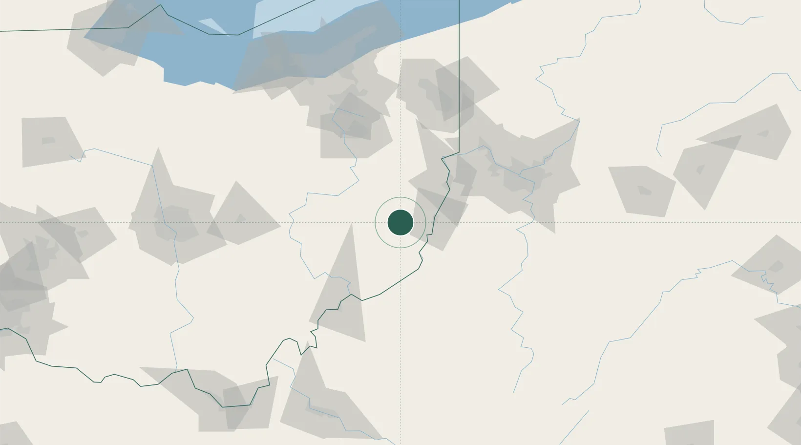
Place type
Populated place
Region
Ohio
Population
445
Time zone
America/New_York
Elevation
362 m
Location
Nearby Logistics Neighbours
Cities
- 1Morristown3 km
- 2Kinsman, Belmont16 km
- 3Lansing22 km
- 4Quaker City24 km
- 5Shadyside25 km
Airports
Trade Zones
- 1FTZ No. 033 Pittsburgh94 km
- 2FTZ No. 181 Akron Canton119 km
- 3FTZ No. 138 Franklin County164 km
- 4FTZ No. 040 Cleveland177 km
- 5FTZ No. 229 Charleston197 km
DatabookThe Record of Consolidated Knowledge
United States beyond logistics?