UN/LOCODE hub · United States
USBUB
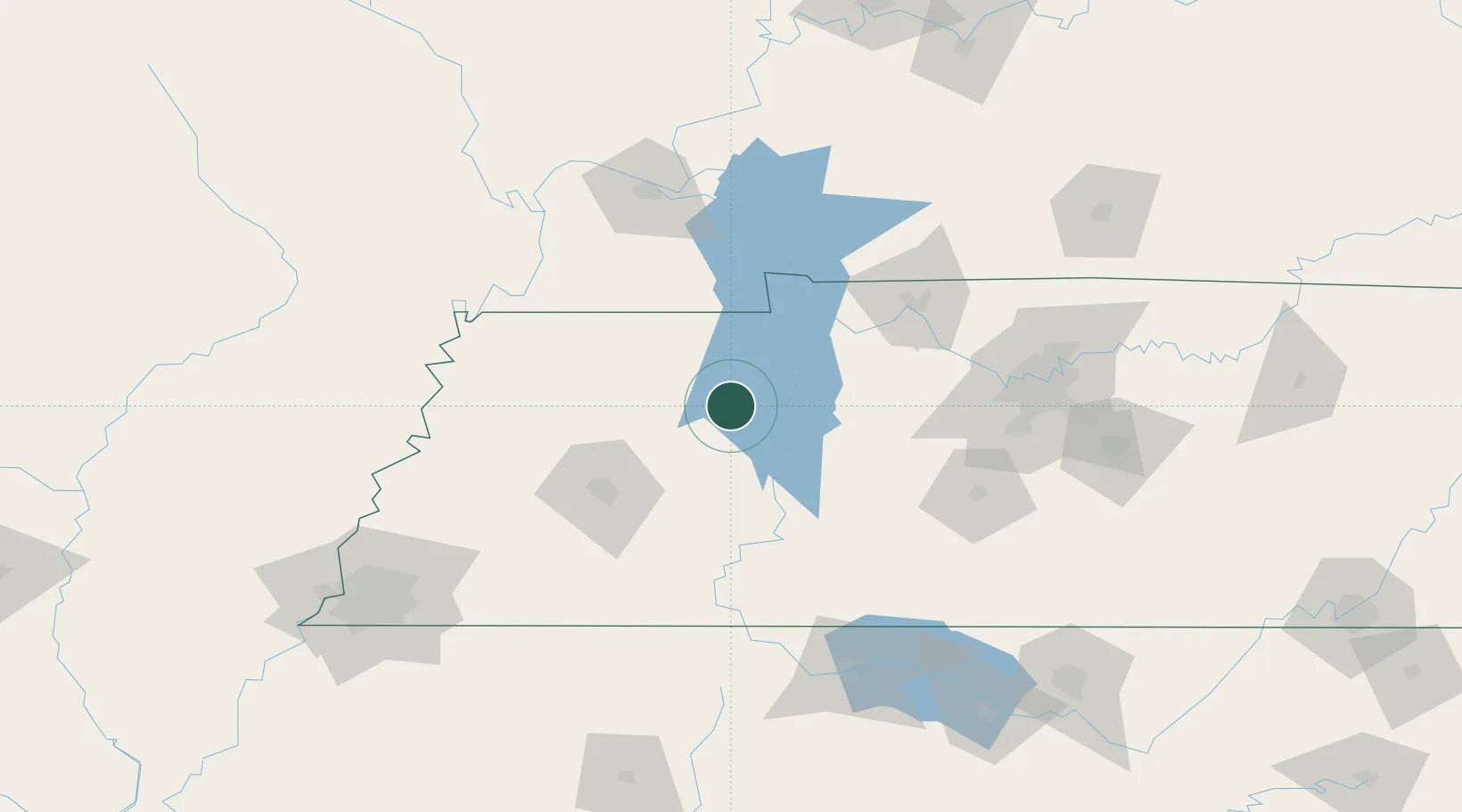
Bruceton
36.0500°, -88.2333°
1,434
Population
3
Transport functions
Transport Functions
Rail
Road
Multimodal
Hub Profile
Place type
Populated place
Region
Tennessee
Population
1,434
Time zone
America/Chicago
Elevation
144 m
Location
Nearby Logistics Neighbours
Cities
- 1Halls11 km
- 2Huntington17 km
- 3Henry23 km
- 4Buchanan43 km
- 5Puryear44 km
Ports
- 1Port Of Memphis206 km
- 2Mobile597 km
- 3Gary624 km
- 4Indiana Harbor628 km
- 5Biloxi633 km
Airports
Trade Zones
- 1FTZ No. 078 Nashville106 km
- 2FTZ No. 294 Western Kentucky117 km
- 3FTZ No. 283 West Tennessee134 km
- 4FTZ No. 265 Conroe (Montgomery County)193 km
- 5FTZ No. 270 Lawrence County197 km
DatabookThe Record of Consolidated Knowledge
United States beyond logistics?