UN/LOCODE hub · United States
USPP2
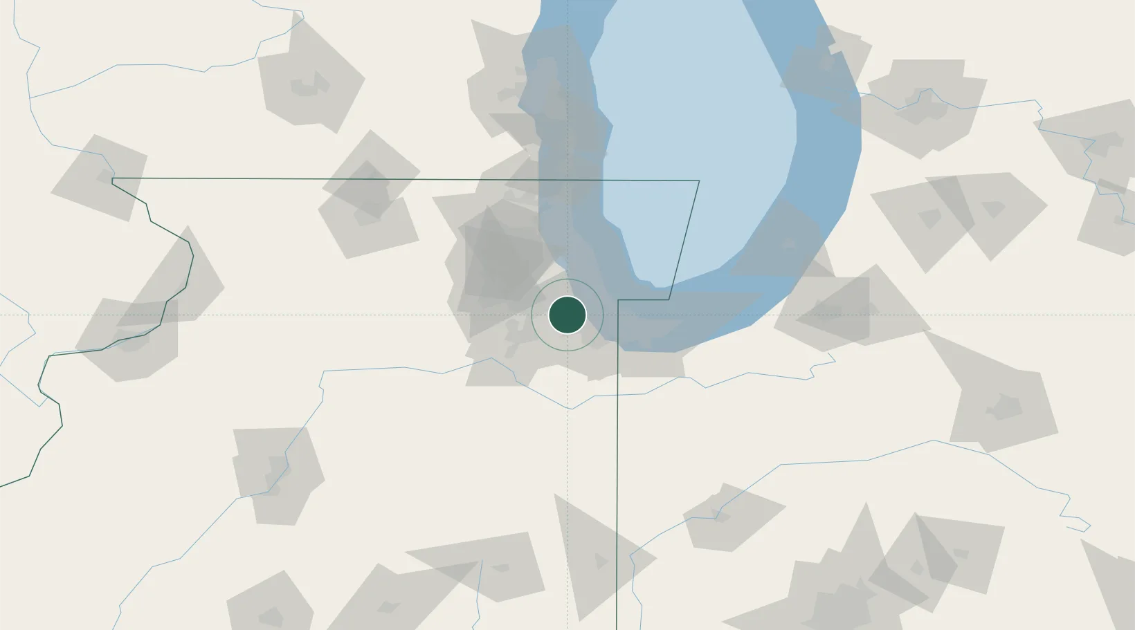
Palos Park
41.6667°, -87.8333°
4,888
Population
2
Transport functions
Transport Functions
Rail
Road
Hub Profile
Place type
Populated place
Region
Illinois
Population
4,888
Time zone
America/Chicago
Elevation
210 m
Location
Nearby Logistics Neighbours
Cities
- 1Hickory Hills, Cook8 km
- 2Justice11 km
- 3Chicago12 km
- 4Summit13 km
- 5Mokena14 km
Ports
- 1Calumet Harbor27 km
- 2Chicago31 km
- 3Indiana Harbor33 km
- 4Gary42 km
- 5Wilmette48 km
Airports
Trade Zones
- 1FTZ No. 022 Chicago19 km
- 2FTZ No. 152 Burns Harbor56 km
- 3FTZ No. 292 Lake County73 km
- 4FTZ No. 125 South Bend124 km
- 5FTZ No. 176 Rockford131 km
DatabookThe Record of Consolidated Knowledge
United States beyond logistics?