UN/LOCODE hub · United States
USCHI
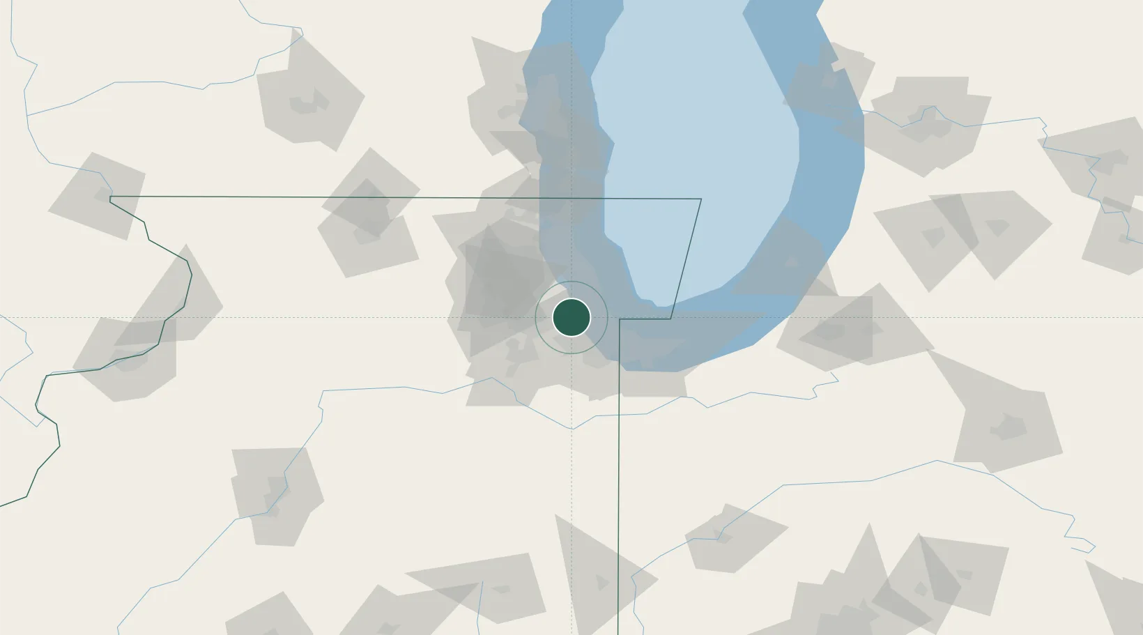
Chicago
41.7694°, -87.8147°
2,664,452
Population
3
Transport functions
Transport Functions
Port
Airport
Postal
Hub Profile
Place type
Provincial seat
Region
Illinois
Population
2,664,452
Time zone
America/Chicago
Elevation
179 m
Logistics facilities
178
Location
Nearby Logistics Neighbours
Cities
- 1Justice1 km
- 2Summit2 km
- 3Hickory Hills, Cook4 km
- 4Brookfield6 km
- 5Stickney6 km
Ports
- 1Calumet Harbor25 km
- 2Indiana Harbor34 km
- 3Wilmette37 km
- 4Gary43 km
- 5Great Lakes59 km
Airports
Trade Zones
- 1FTZ No. 022 Chicago9 km
- 2FTZ No. 152 Burns Harbor57 km
- 3FTZ No. 292 Lake County62 km
- 4FTZ No. 125 South Bend122 km
- 5FTZ No. 176 Rockford127 km
DatabookThe Record of Consolidated Knowledge
United States beyond logistics?