Transport Functions
Rail
Road
Postal
Hub Profile
Place type
Populated place
Region
Illinois
Population
11,389
Time zone
America/Chicago
Elevation
187 m
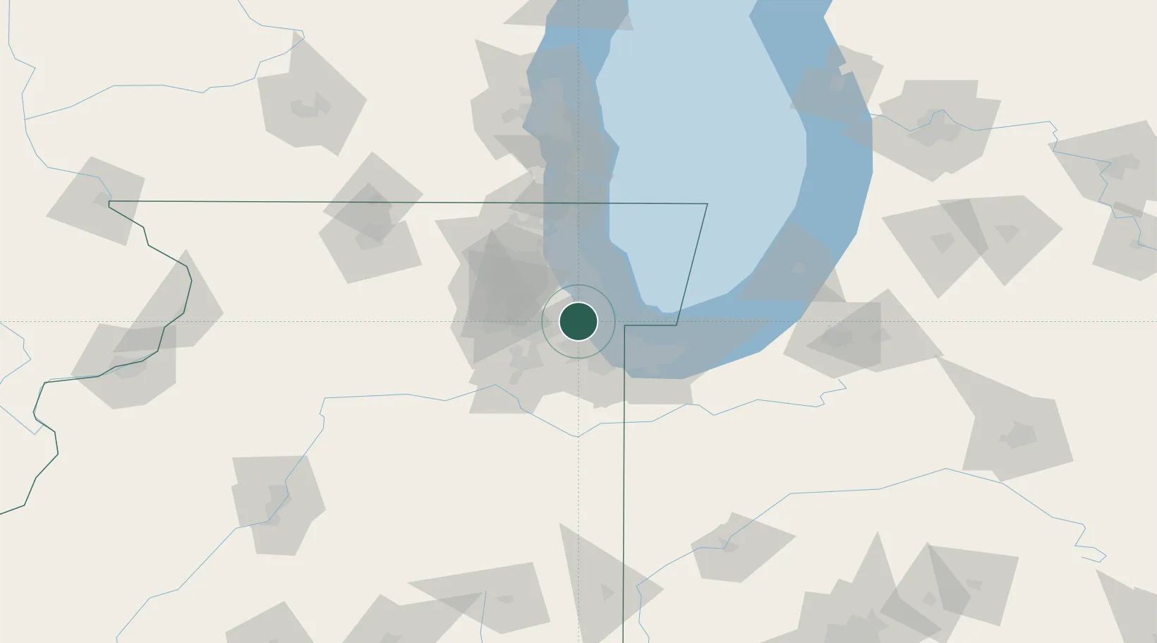
Location
Nearby Logistics Neighbours
Cities
- 1Chicago2 km
- 2Justice3 km
- 3Stickney4 km
- 4Brookfield5 km
- 5Hickory Hills, Cook6 km
Ports
- 1Chicago20 km
- 2Calumet Harbor24 km
- 3Indiana Harbor33 km
- 4Wilmette35 km
- 5Gary43 km
Airports
Trade Zones
- 1FTZ No. 022 Chicago8 km
- 2FTZ No. 152 Burns Harbor56 km
- 3FTZ No. 292 Lake County60 km
- 4FTZ No. 125 South Bend121 km
- 5FTZ No. 176 Rockford128 km
DatabookThe Record of Consolidated Knowledge
United States beyond logistics?