UN/LOCODE hub · United States
USPNY
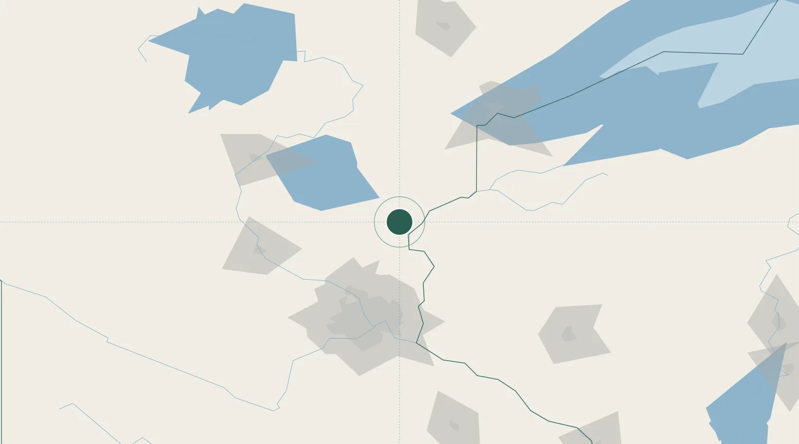
Pine City
45.8167°, -92.9667°
3,078
Population
2
Transport functions
Transport Functions
Road
Multimodal
Hub Profile
Place type
Provincial seat
Region
Minnesota
Population
3,078
Time zone
America/Chicago
Elevation
290 m
Location
Nearby Logistics Neighbours
Cities
- 1Cambridge34 km
- 2North Branch35 km
- 3Ogilvie36 km
- 4Dalbo38 km
- 5Isanti43 km
Ports
- 1Superior123 km
- 2Duluth125 km
- 3Two Harbors167 km
- 4Ashland184 km
- 5Washburn186 km
Airports
Trade Zones
- 1FTZ No. 119 Minneapolis-St. Paul97 km
- 2FTZ No. 051 Duluth119 km
- 3FTZ No. 259 Koochiching County292 km
- 4FTZ No. 267 Fargo328 km
- 5FTZ No. 288 Northwest Iowa385 km
DatabookThe Record of Consolidated Knowledge
United States beyond logistics?