Transport Functions
Road
Multimodal
Hub Profile
Place type
Populated place
Region
Minnesota
Time zone
America/Chicago
Elevation
294 m
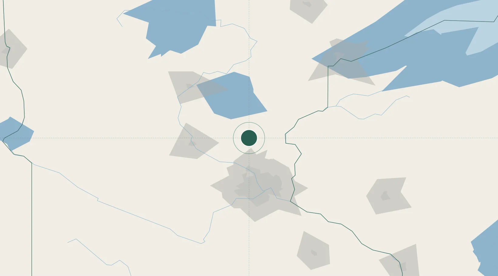
Location
Nearby Logistics Neighbours
Cities
- 1Cambridge17 km
- 2Ogilvie21 km
- 3Isanti22 km
- 4Milaca22 km
- 5North Branch37 km
Ports
- 1Superior158 km
- 2Duluth159 km
- 3Two Harbors203 km
- 4Ashland222 km
- 5Washburn224 km
Airports
Trade Zones
- 1FTZ No. 119 Minneapolis-St. Paul77 km
- 2FTZ No. 051 Duluth152 km
- 3FTZ No. 259 Koochiching County300 km
- 4FTZ No. 267 Fargo305 km
- 5FTZ No. 288 Northwest Iowa349 km
DatabookThe Record of Consolidated Knowledge
United States beyond logistics?