UN/LOCODE hub · United States
USPNB
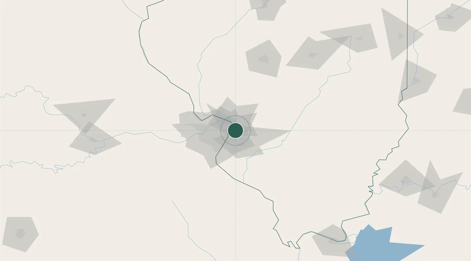
Pontoon Beach
38.7333°, -90.0833°
5,637
Population
2
Transport functions
Transport Functions
Rail
Road
Hub Profile
Place type
Populated place
Region
Illinois
Population
5,637
Time zone
America/Chicago
Elevation
127 m
Location
Nearby Logistics Neighbours
Cities
- 1Granite City3 km
- 2Edwardsville5 km
- 3South Roxana10 km
- 4Fairmont City11 km
- 5Collinsville11 km
Ports
- 1Indiana Harbor396 km
- 2Gary397 km
- 3Calumet Harbor398 km
- 4Port Of Memphis408 km
- 5Chicago409 km
Airports
Trade Zones
- 1FTZ No. 031 Granite City10 km
- 2FTZ No. 102 St. Louis County55 km
- 3FTZ No. 245 Decatur153 km
- 4FTZ No. 114 Peoria222 km
- 5FTZ No. 294 Western Kentucky227 km
DatabookThe Record of Consolidated Knowledge
United States beyond logistics?