UN/LOCODE hub · United States
USYCL
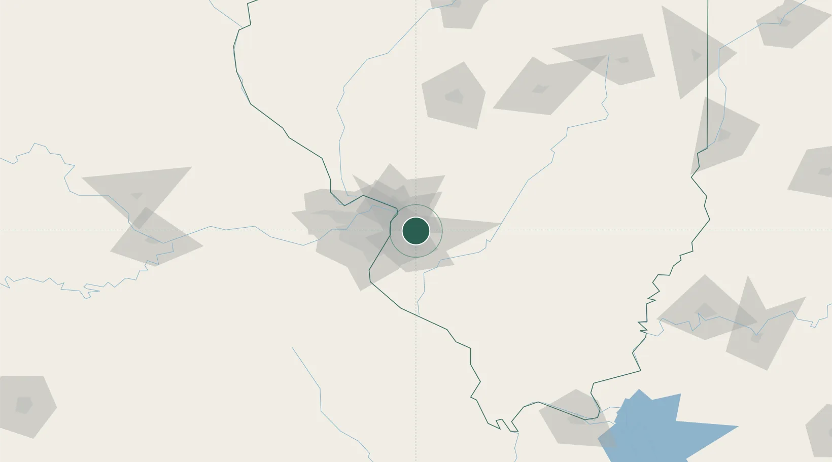
Collinsville
38.6667°, -89.9833°
24,754
Population
3
Transport functions
Transport Functions
Road
Airport
Multimodal
Hub Profile
Place type
Populated place
Region
Illinois
Population
24,754
Time zone
America/Chicago
Elevation
171 m
Location
Nearby Logistics Neighbours
Cities
- 1Caseyville8 km
- 2O'Fallon9 km
- 3Fairmont City9 km
- 4Pontoon Beach11 km
- 5Centreville13 km
Ports
- 1Indiana Harbor398 km
- 2Gary398 km
- 3Calumet Harbor400 km
- 4Port Of Memphis401 km
- 5Chicago411 km
Airports
Trade Zones
- 1FTZ No. 031 Granite City21 km
- 2FTZ No. 102 St. Louis County63 km
- 3FTZ No. 245 Decatur154 km
- 4FTZ No. 294 Western Kentucky216 km
- 5FTZ No. 177 Evansville220 km
DatabookThe Record of Consolidated Knowledge
United States beyond logistics?