UN/LOCODE hub · United States
USEWV
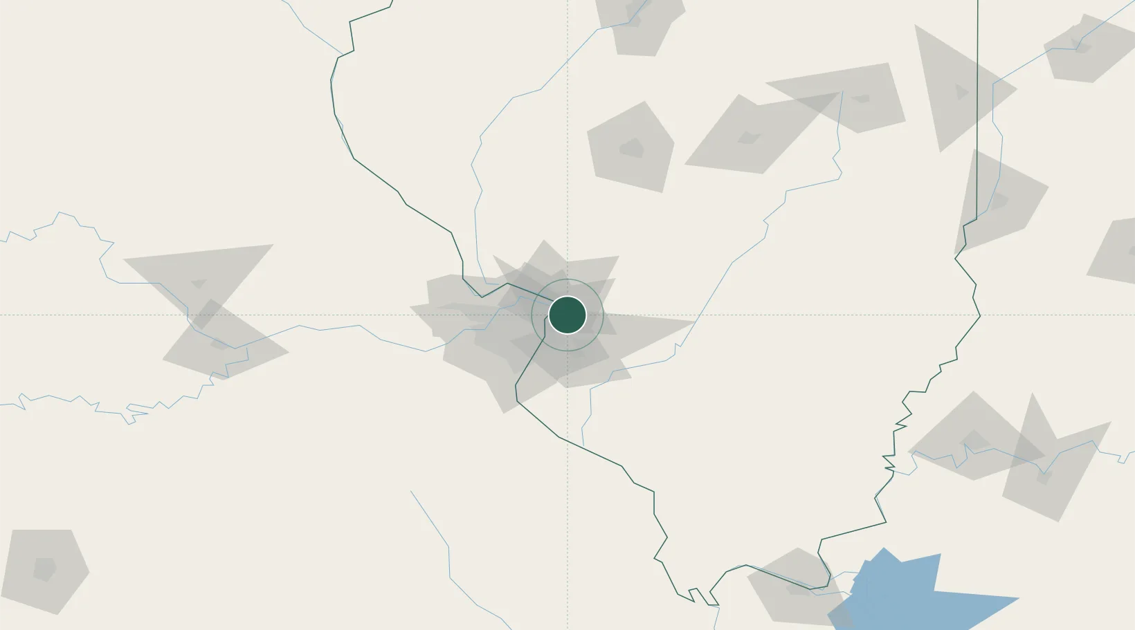
Edwardsville
38.7701°, -90.0569°
24,992
Population
3
Transport functions
Transport Functions
Rail
Road
Multimodal
Hub Profile
Place type
Provincial seat
Region
Illinois
Population
24,992
Time zone
America/Chicago
Elevation
165 m
Logistics facilities
1
Location
Nearby Logistics Neighbours
Cities
- 1Pontoon Beach5 km
- 2South Roxana5 km
- 3Granite City8 km
- 4Collinsville13 km
- 5Fairmont City15 km
Ports
- 1Indiana Harbor392 km
- 2Gary392 km
- 3Calumet Harbor394 km
- 4Chicago404 km
- 5Port Of Memphis412 km
Airports
Trade Zones
- 1FTZ No. 031 Granite City13 km
- 2FTZ No. 102 St. Louis County58 km
- 3FTZ No. 245 Decatur148 km
- 4FTZ No. 114 Peoria218 km
- 5FTZ No. 294 Western Kentucky229 km
DatabookThe Record of Consolidated Knowledge
United States beyond logistics?