UN/LOCODE hub · United States
USQFY
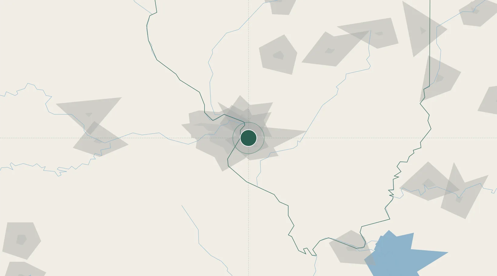
Fairmont City
38.6333°, -90.0833°
2,502
Population
3
Transport functions
Transport Functions
Port
Road
Multimodal
Hub Profile
Place type
Populated place
Region
Illinois
Population
2,502
Time zone
America/Chicago
Elevation
128 m
Location
Nearby Logistics Neighbours
Cities
- 1Caseyville3 km
- 2Wentzville6 km
- 3Centreville6 km
- 4Collinsville9 km
- 5Granite City10 km
Ports
- 1Port Of Memphis397 km
- 2Indiana Harbor406 km
- 3Gary406 km
- 4Calumet Harbor408 km
- 5Chicago418 km
Airports
Trade Zones
- 1FTZ No. 031 Granite City16 km
- 2FTZ No. 102 St. Louis County54 km
- 3FTZ No. 245 Decatur162 km
- 4FTZ No. 294 Western Kentucky218 km
- 5FTZ No. 177 Evansville227 km
DatabookThe Record of Consolidated Knowledge
United States beyond logistics?