UN/LOCODE hub · United States
USGZI
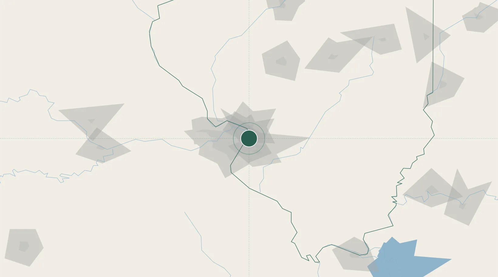
Granite City
38.7167°, -90.1167°
29,054
Population
3
Transport functions
Transport Functions
Port
Rail
Road
Hub Profile
Place type
Populated place
Region
Illinois
Population
29,054
Time zone
America/Chicago
Elevation
129 m
Location
Nearby Logistics Neighbours
Cities
- 1Pontoon Beach3 km
- 2Edwardsville8 km
- 3Eureka, Saint Louis9 km
- 4Fairmont City10 km
- 5Bellefontaine Neighbors10 km
Ports
- 1Indiana Harbor399 km
- 2Gary400 km
- 3Calumet Harbor402 km
- 4Port Of Memphis406 km
- 5Chicago412 km
Airports
Trade Zones
- 1FTZ No. 031 Granite City8 km
- 2FTZ No. 102 St. Louis County52 km
- 3FTZ No. 245 Decatur156 km
- 4FTZ No. 114 Peoria225 km
- 5FTZ No. 294 Western Kentucky228 km
DatabookThe Record of Consolidated Knowledge
United States beyond logistics?