UN/LOCODE hub · United States
USRXS
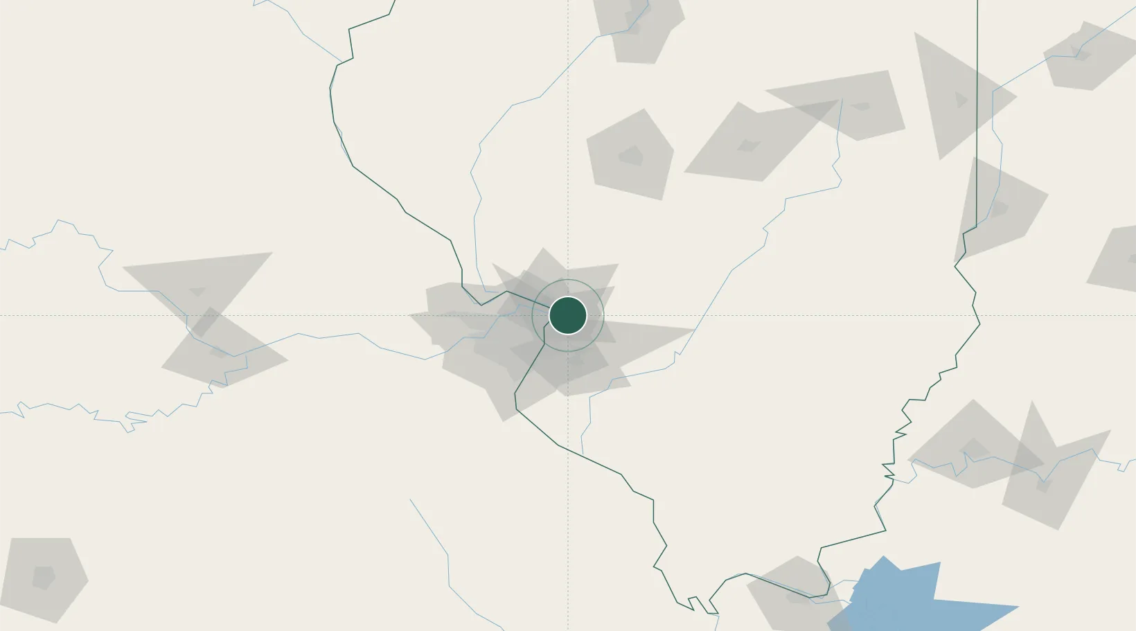
South Roxana
38.8167°, -90.0500°
1,997
Population
2
Transport functions
Transport Functions
Rail
Road
Hub Profile
Place type
Populated place
Region
Illinois
Population
1,997
Time zone
America/Chicago
Elevation
134 m
Location
Nearby Logistics Neighbours
Cities
- 1Edwardsville5 km
- 2Pontoon Beach10 km
- 3Granite City13 km
- 4Collinsville18 km
- 5Bellefontaine Neighbors18 km
Ports
- 1Indiana Harbor387 km
- 2Gary387 km
- 3Calumet Harbor389 km
- 4Chicago399 km
- 5Wilmette415 km
Airports
Trade Zones
- 1FTZ No. 031 Granite City16 km
- 2FTZ No. 102 St. Louis County60 km
- 3FTZ No. 245 Decatur144 km
- 4FTZ No. 114 Peoria213 km
- 5FTZ No. 177 Evansville231 km
DatabookThe Record of Consolidated Knowledge
United States beyond logistics?