UN/LOCODE hub · United States
USNQV
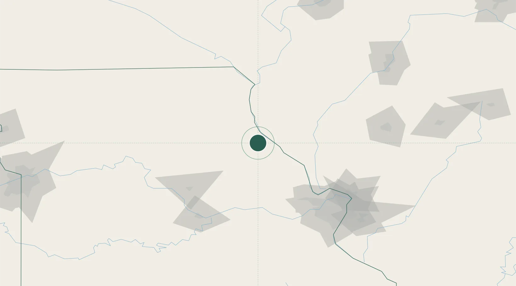
New London
39.5833°, -91.4000°
969
Population
2
Transport functions
Transport Functions
Port
Multimodal
Hub Profile
Place type
Provincial seat
Region
Missouri
Population
969
Time zone
America/Chicago
Elevation
200 m
Location
Nearby Logistics Neighbours
Cities
- 1Palmyra24 km
- 2Marblehead28 km
- 3Barry33 km
- 4Bowling Green33 km
- 5Rockport35 km
Ports
- 1Calumet Harbor406 km
- 2Indiana Harbor407 km
- 3Chicago410 km
- 4Gary411 km
- 5Wilmette418 km
Airports
Trade Zones
- 1FTZ No. 102 St. Louis County120 km
- 2FTZ No. 055 Burlington139 km
- 3FTZ No. 031 Granite City139 km
- 4FTZ No. 114 Peoria197 km
- 5FTZ No. 245 Decatur203 km
DatabookThe Record of Consolidated Knowledge
United States beyond logistics?