Transport Functions
Port
Road
Multimodal
Hub Profile
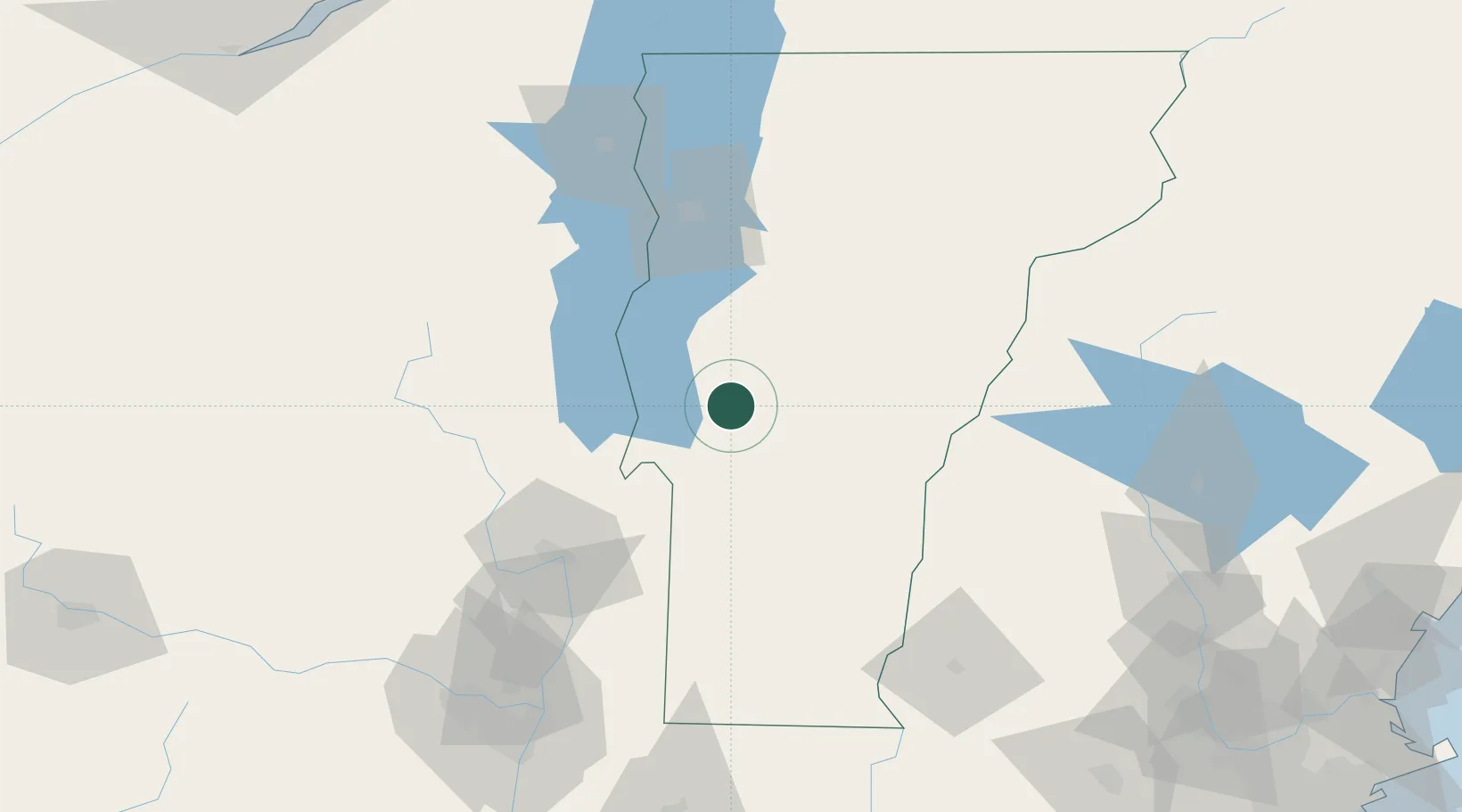
Place type
Populated place
Region
Vermont
Time zone
America/New_York
Elevation
181 m
Location
Nearby Logistics Neighbours
Cities
- 1Proctor19 km
- 2Hancock21 km
- 3Rutland23 km
- 4Stockbridge24 km
- 5Castleton25 km
Ports
- 1Troy132 km
- 2Albany142 km
- 3Rensselaer142 km
- 4Beauharnois179 km
- 5St Anicet180 km
Airports
Trade Zones
- 1FTZ No. 268 Brattleboro112 km
- 2FTZ No. 121 Albany137 km
- 3FTZ No. 201 Holyoke179 km
- 4Greater Montreal Free Zone Center193 km
- 5FTZ No. 081 Portsmouth197 km
DatabookThe Record of Consolidated Knowledge
United States beyond logistics?