UN/LOCODE hub · United States
USPC4
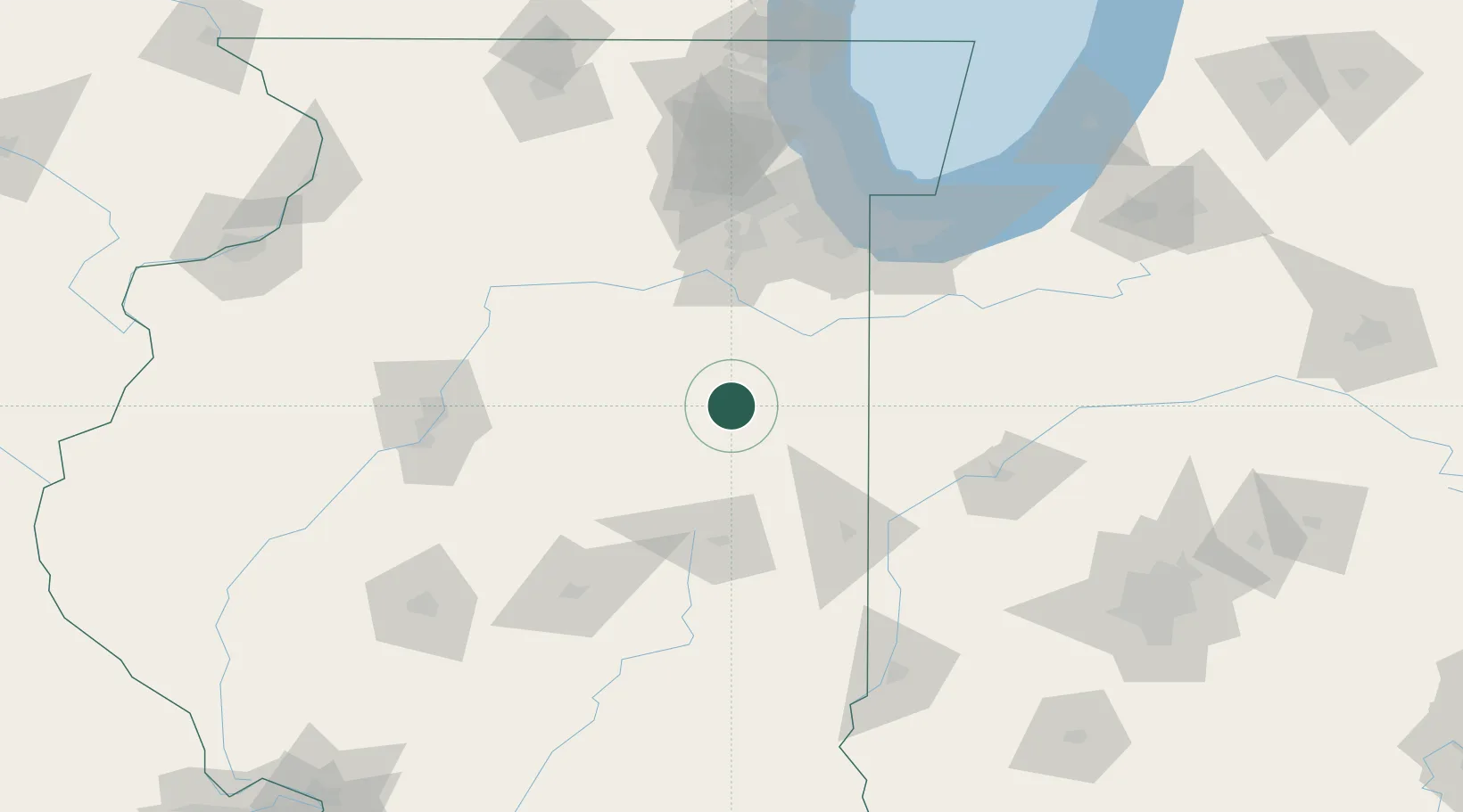
Piper City
40.7500°, -88.1833°
791
Population
3
Transport functions
Transport Functions
Rail
Road
Multimodal
Hub Profile
Place type
Populated place
Region
Illinois
Population
791
Time zone
America/Chicago
Elevation
205 m
Location
Nearby Logistics Neighbours
Cities
- 1Chatsworth8 km
- 2Gilman17 km
- 3Ashkum24 km
- 4Fairbury27 km
- 5Paxton34 km
Ports
- 1Indiana Harbor120 km
- 2Gary120 km
- 3Calumet Harbor123 km
- 4Chicago135 km
- 5Michigan City153 km
Airports
Trade Zones
- 1FTZ No. 114 Peoria119 km
- 2FTZ No. 022 Chicago123 km
- 3FTZ No. 245 Decatur124 km
- 4FTZ No. 152 Burns Harbor129 km
- 5FTZ No. 292 Lake County177 km
DatabookThe Record of Consolidated Knowledge
United States beyond logistics?