Transport Functions
Rail
Road
Hub Profile
Place type
Provincial seat
Region
Illinois
Population
4,357
Time zone
America/Chicago
Elevation
241 m
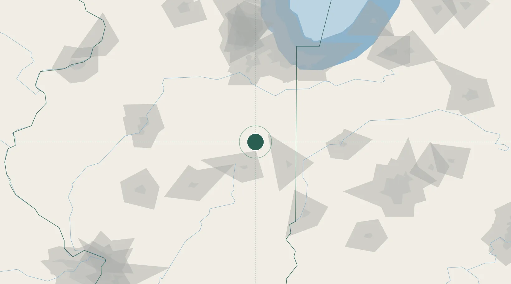
Location
Nearby Logistics Neighbours
Cities
- 1Prospect18 km
- 2Thomasboro24 km
- 3Gibson City24 km
- 4Piper City34 km
- 5Gilman36 km
Ports
- 1Gary144 km
- 2Indiana Harbor146 km
- 3Calumet Harbor150 km
- 4Chicago164 km
- 5Michigan City174 km
Airports
Trade Zones
- 1FTZ No. 245 Decatur106 km
- 2FTZ No. 114 Peoria130 km
- 3FTZ No. 152 Burns Harbor152 km
- 4FTZ No. 022 Chicago155 km
- 5FTZ No. 072 Indianapolis171 km
DatabookThe Record of Consolidated Knowledge
United States beyond logistics?