UN/LOCODE hub · United States
USFB2
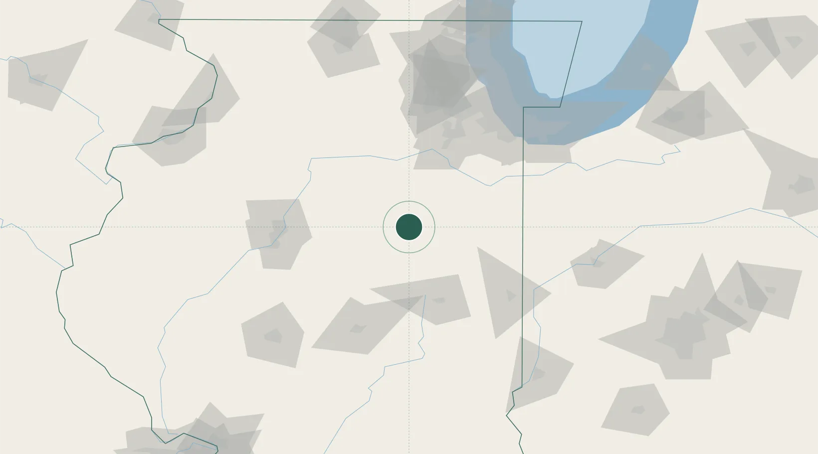
Fairbury
40.7333°, -88.5000°
3,630
Population
1
Transport functions
Transport Functions
Multimodal
Hub Profile
Place type
Populated place
Region
Illinois
Population
3,630
Time zone
America/Chicago
Elevation
209 m
Location
Nearby Logistics Neighbours
Cities
- 1Chatsworth18 km
- 2Piper City27 km
- 3Gibson City34 km
- 4Gilman44 km
- 5Paxton47 km
Ports
- 1Indiana Harbor137 km
- 2Calumet Harbor138 km
- 3Gary139 km
- 4Chicago148 km
- 5Wilmette165 km
Airports
Trade Zones
- 1FTZ No. 114 Peoria92 km
- 2FTZ No. 245 Decatur109 km
- 3FTZ No. 022 Chicago133 km
- 4FTZ No. 152 Burns Harbor150 km
- 5FTZ No. 176 Rockford179 km
DatabookThe Record of Consolidated Knowledge
United States beyond logistics?