UN/LOCODE hub · United States
USTS4
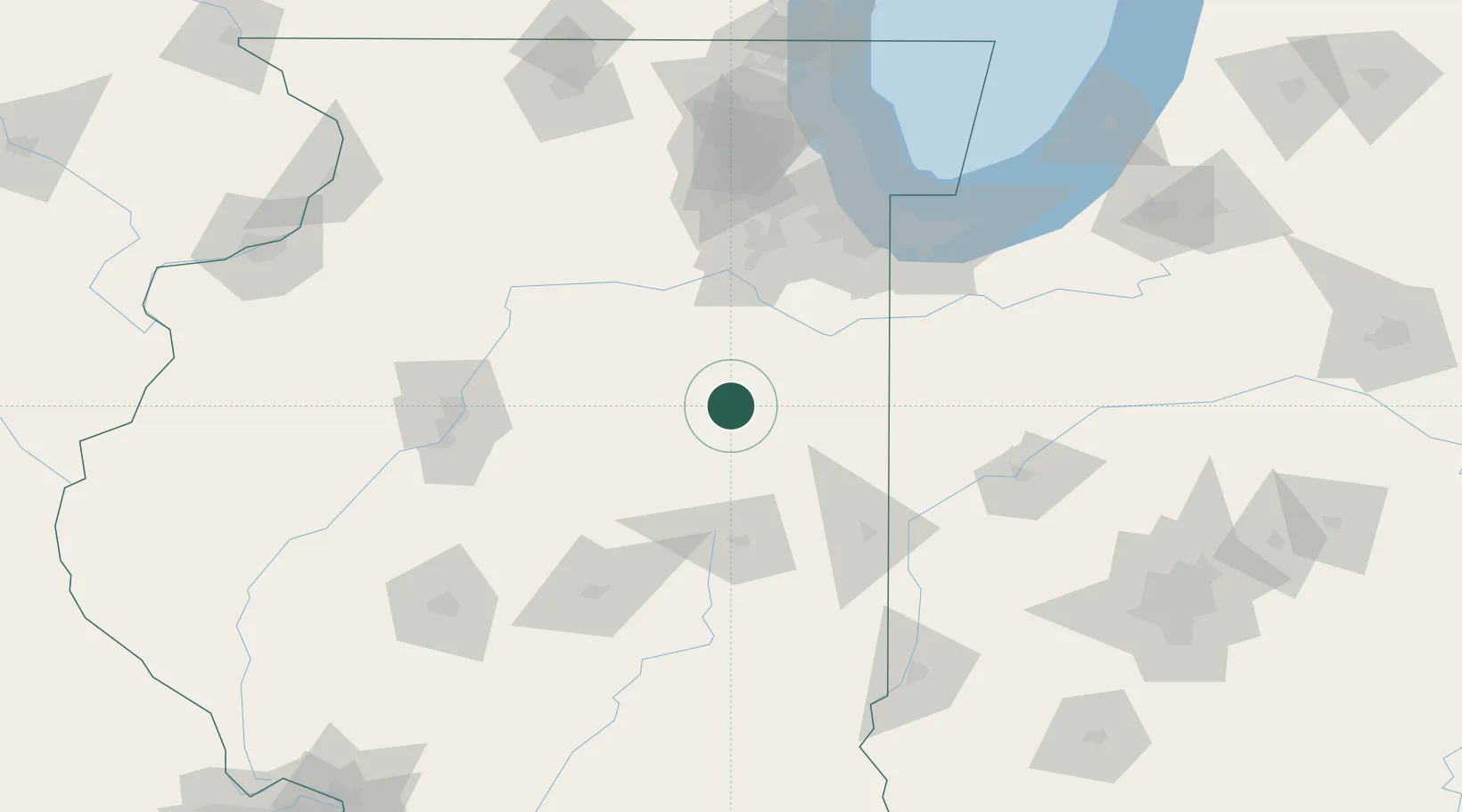
Chatsworth
40.7500°, -88.2833°
1,151
Population
2
Transport functions
Transport Functions
Port
Multimodal
Hub Profile
Place type
Populated place
Region
Illinois
Population
1,151
Time zone
America/Chicago
Elevation
222 m
Location
Nearby Logistics Neighbours
Cities
- 1Piper City8 km
- 2Fairbury18 km
- 3Gilman25 km
- 4Ashkum31 km
- 5Gibson City34 km
Ports
- 1Indiana Harbor124 km
- 2Gary125 km
- 3Calumet Harbor127 km
- 4Chicago138 km
- 5Wilmette157 km
Airports
Trade Zones
- 1FTZ No. 114 Peoria110 km
- 2FTZ No. 245 Decatur119 km
- 3FTZ No. 022 Chicago125 km
- 4FTZ No. 152 Burns Harbor135 km
- 5FTZ No. 292 Lake County178 km
DatabookThe Record of Consolidated Knowledge
United States beyond logistics?