Transport Functions
Rail
Road
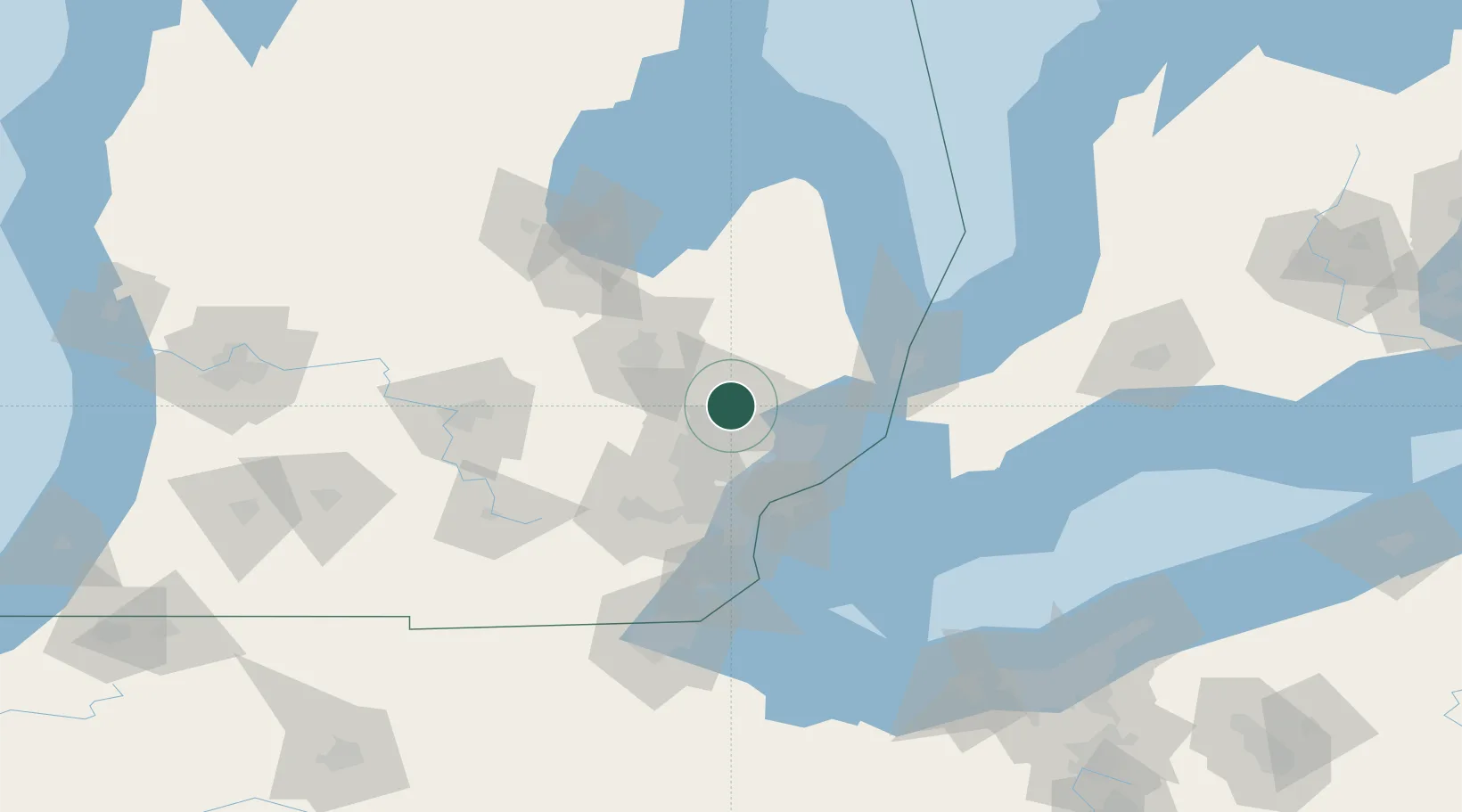
Hub Profile
Place type
Populated place
Region
Michigan
Time zone
America/Detroit
Elevation
307 m
Location
Nearby Logistics Neighbours
Cities
- 1Lake Orion3 km
- 2Oxford6 km
- 3Auburn Hills12 km
- 4Oakwood, Oakland12 km
- 5Waterford13 km
Airports
Trade Zones
DatabookThe Record of Consolidated Knowledge
United States beyond logistics?