Transport Functions
Rail
Road
Multimodal
Hub Profile
Place type
Populated place
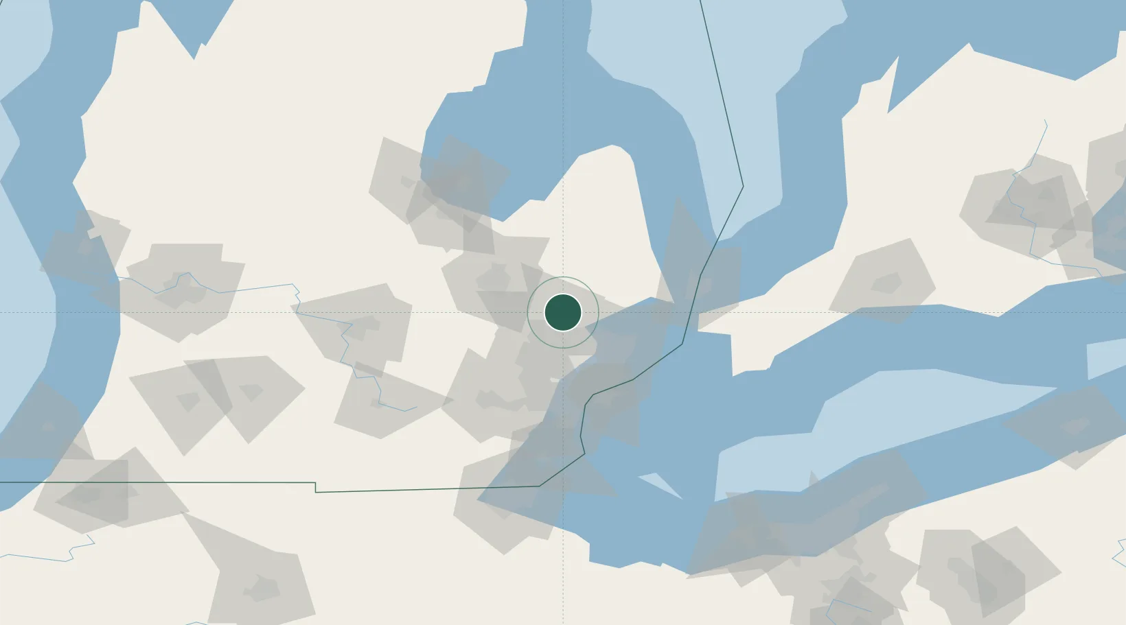
Region
Michigan
Population
3,534
Time zone
America/Detroit
Elevation
322 m
Location
Nearby Logistics Neighbours
Cities
- 1Lake Orion5 km
- 2Lake Orion Heights6 km
- 3Oakwood, Oakland8 km
- 4Metamora13 km
- 5Waterford17 km
Airports
Trade Zones
DatabookThe Record of Consolidated Knowledge
United States beyond logistics?